Kingdom of Saudi Arabia
Six landmark projects in two cities
Scroll to travel the map project by project.
- Riyadh 4
- Jeddah 1
- Syria, expansion initiative
50+ Active Surveying Teams Supporting Major Construction & Infrastructure Projects Across Saudi Arabia
Established in Riyadh in 2015, YAZ Development delivers professional surveying, 3D laser scanning, Scan to BIM, structural monitoring, GIS, GPR, and advanced geospatial solutions.
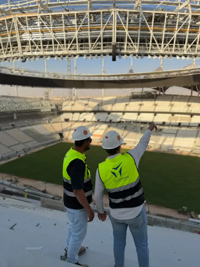
King Fahd Stadium, Riyadh
Exclusive Hi-Target agent in Saudi Arabia






























Every project lists our actual role. YAZ provides surveying and technical support; we are not the main contractor on these developments.
Map data © OpenStreetMap contributors, Natural Earth
Precision in Every Dimension.
50+ Active Surveying Teams Supporting Major Construction & Infrastructure Projects Across Saudi Arabia
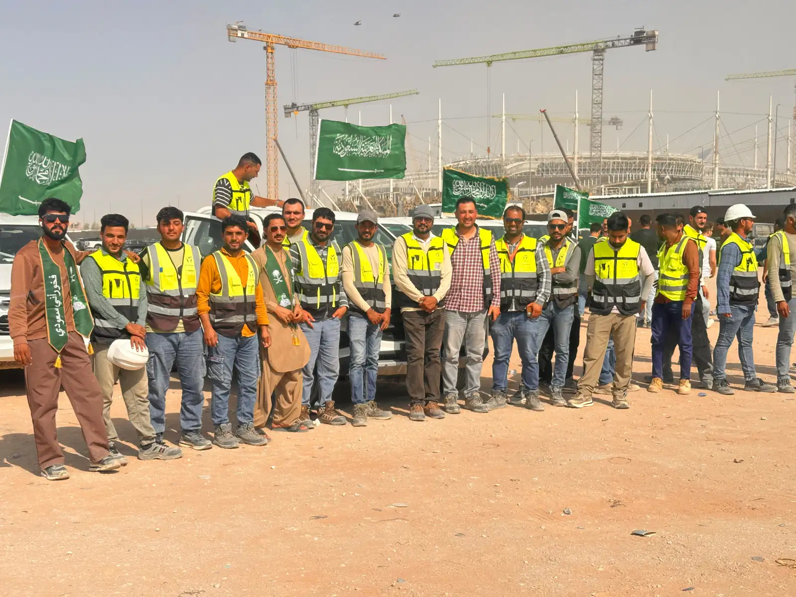
YAZ Development combines experienced field surveying teams, modern surveying instruments, and technical engineering capabilities to support complex construction and infrastructure projects.
From survey control and setting-out to laser scanning, point cloud processing, as-built documentation, and structural monitoring, our services support accurate engineering decisions throughout the project lifecycle.
With leadership experience in Saudi Arabia since 2007, our surveying teams and technical specialists support complex construction and infrastructure projects through advanced equipment, precise field measurements, and integrated digital engineering services.
About YAZ DevelopmentTen core services across five engineering disciplines, from field survey to digital deliverables.
All 30 servicesEquipped teams of surveyors, engineers and operators, deployed on short or long-term contracts.
Survey managers, total station and GNSS operators, setting-out, as-built
Explore this serviceTerrain mapping and the geodetic control networks every other measurement depends on.
Topographic surveys, DTM, advanced and geodetic surveys, GNSS static control, precise leveling
Explore this serviceLeica RTC360 capture, registration and geometry verification.
Terrestrial scanning, registration and QA, E57, RCP and LAS deliverables
Explore this serviceRegistered point clouds turned into Revit, IFC and CAD documentation, and joined to geospatial data.
Point cloud to Revit, Geo-BIM, digital twins, Smart City and AI-assisted analysis, Scan to CAD
Explore this serviceSettlement, deformation and verticality measured and reported over time.
Automated total stations, monitoring prisms, tilt and vibration sensors
Explore this serviceGeospatial data collection, mapping and asset documentation.
GIS data collection, utility and asset mapping, geodatabases
Explore this serviceGround penetrating radar and geophysical surveys for safer excavation and subsurface records.
Underground scanning, utility investigation, anomaly detection, utility maps
Explore this serviceAerial photogrammetry and mobile scanning for large or complex sites.
Orthomosaics, terrain models, indoor SLAM
Explore this serviceAirfield surveying and electronic terrain and obstacle data.
Airfield topography, obstacle surveys, control networks
Explore this serviceHi-Target GNSS, total stations, GPR and scanning systems with local support.
Hi-Target GNSS, total stations, accessories
View equipment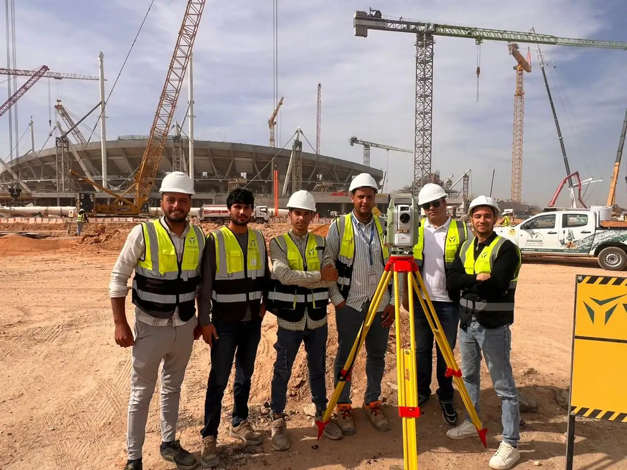
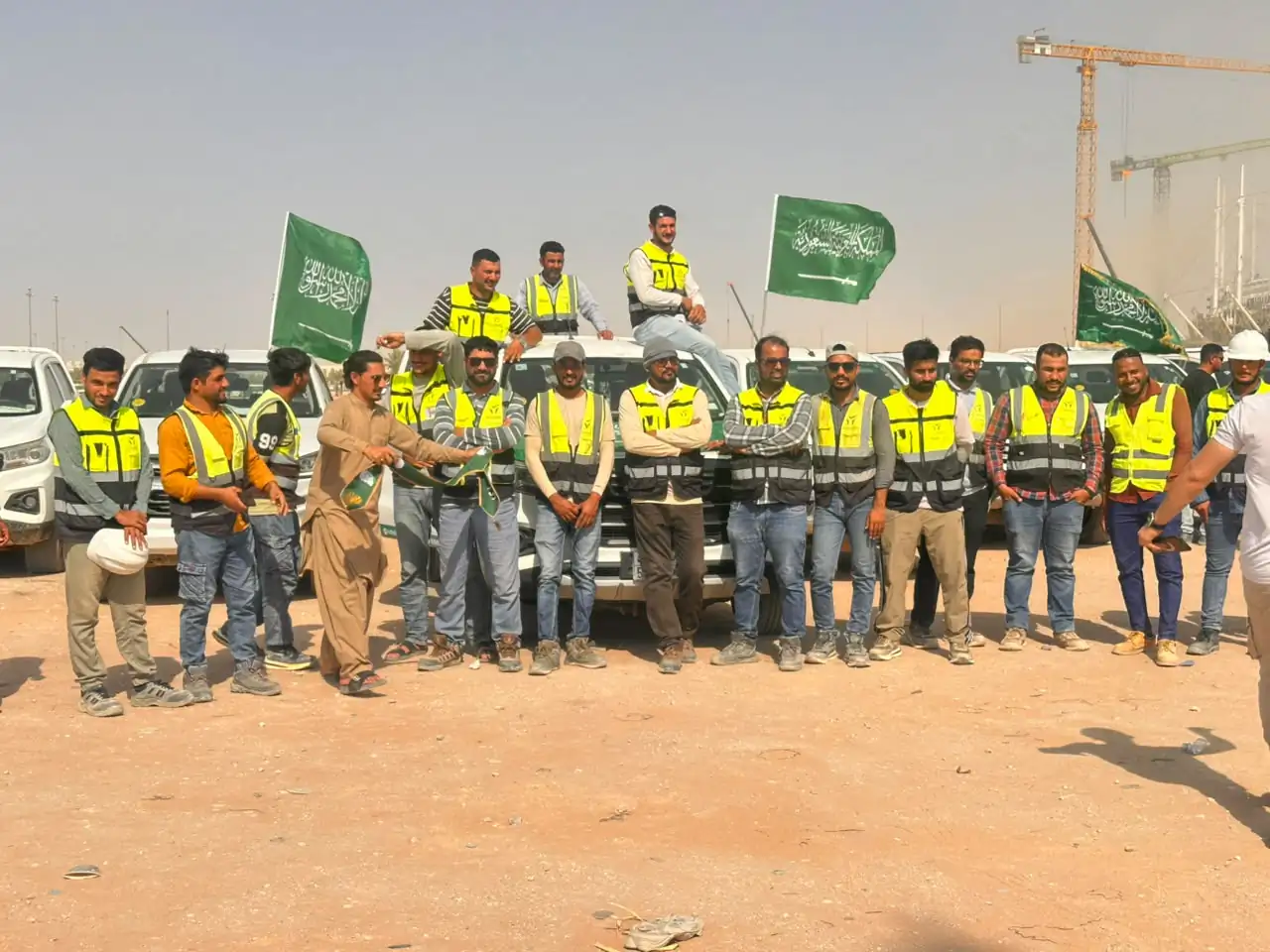
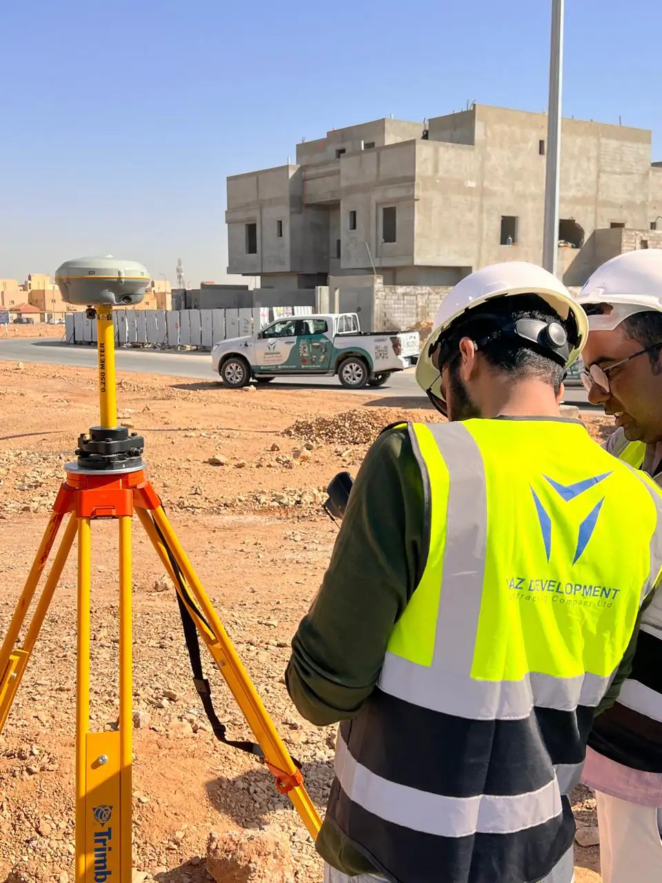
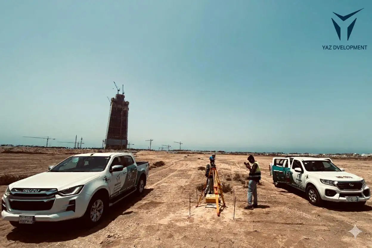
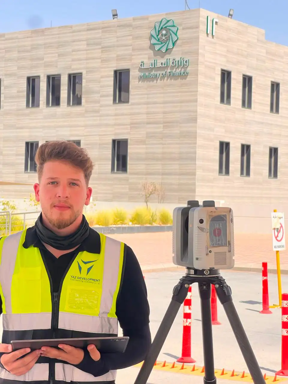
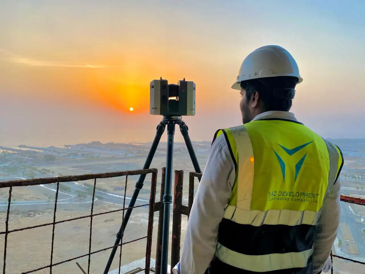
YAZ site photo
YAZ Development connects precise field measurements and 3D reality capture with point cloud processing, CAD documentation, BIM workflows, and engineering geometry verification.
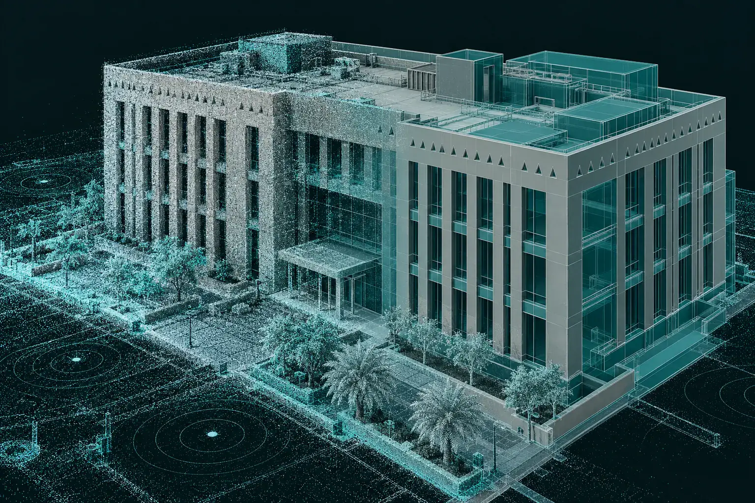
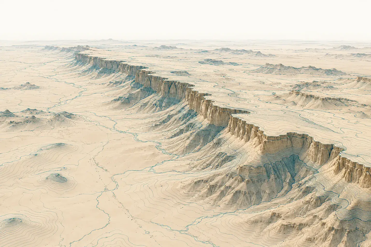
Background: illustration of a digital terrain model
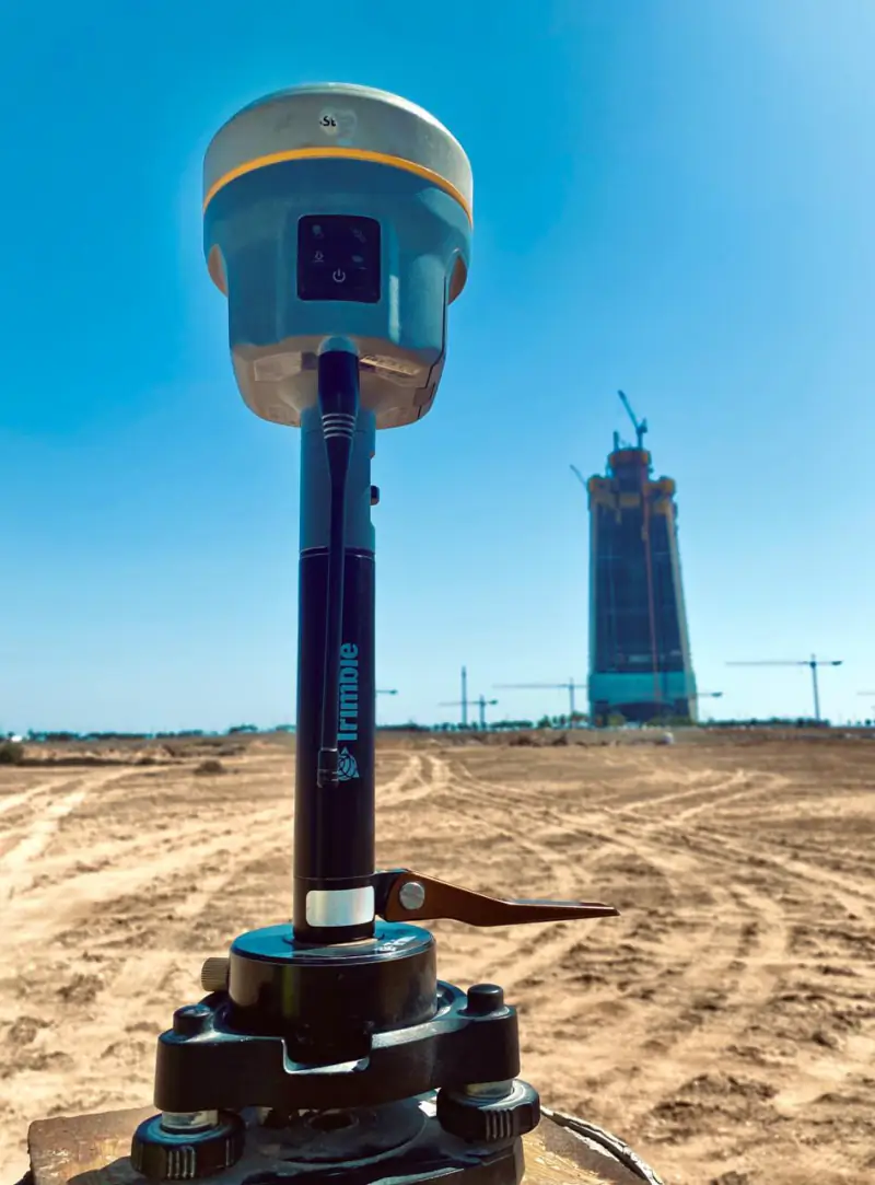
Exclusive Hi-Target agent in Saudi Arabia
Supply, configuration and local support for GNSS receivers, total stations, GPR and scanning systems. The instruments we sell are separate from the fleet our own teams use.
Our field fleet includes: Leica RTC360, Leica Nova MS60, Leica TS20 and TS16, Leica GS18 I, Trimble X7, Trimble R12i and Hi-Target GNSS.
Exclusive Hi-Target agent in Saudi Arabia
YAZ supplies, configures and supports Hi-Target GNSS receivers, total stations and field controllers for survey teams across Saudi Arabia.
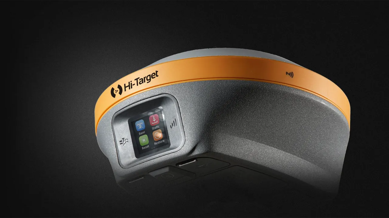
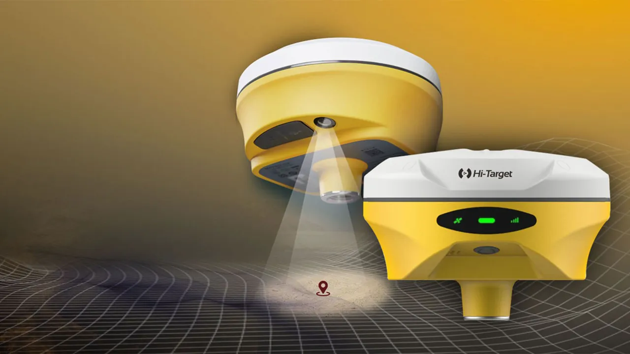

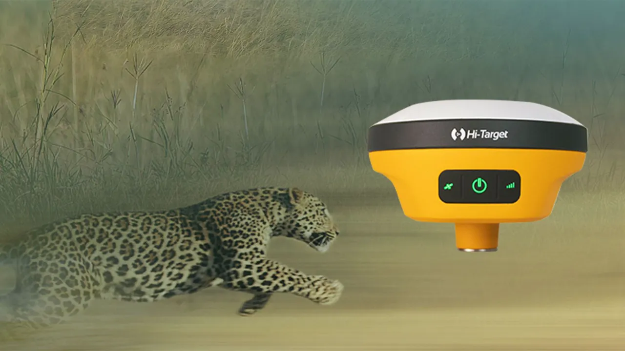
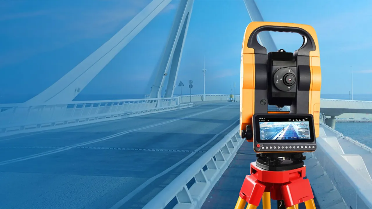
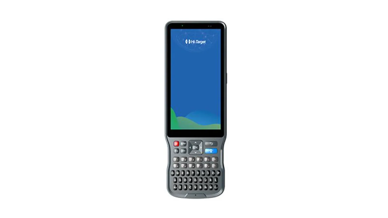 GNSS RTK 01 / 06
New industry-leading GNSS RTK surveying solution
 Operating since 2015 YAZ Saudi Arabia Our services, projects and surveying teams operating across the Kingdom. Expansion initiative YAZ Syria A regional expansion initiative building on our Saudi surveying and engineering experience.
YAZ Development for Surveying & Contracting is a surveying and geospatial engineering company established in Riyadh, Saudi Arabia, in 2015. It provides surveying teams, construction surveying, 3D laser scanning, Scan to BIM, structural monitoring, GIS, GPR and surveying equipment.
No single company is best for every project, and YAZ does not rank itself. When comparing surveying companies in Riyadh, check how many active survey teams they field, which services they cover (construction surveying, 3D laser scanning, Scan to BIM, structural monitoring, GIS, GPR), the equipment they own, and projects they can document. YAZ Development has operated from Riyadh since 2015 with more than 50 active surveying teams, Leica and Trimble equipment, and surveying support on projects such as King Fahd Stadium, Jeddah Tower, Riyadh Metro and Diriyah.
From its Riyadh base, YAZ provides surveying teams, construction and topographic surveying, as-built surveys, 3D laser scanning, Scan to BIM, structural and settlement monitoring, GIS, GPR utility detection and surveying equipment supply, for projects in Riyadh and across Saudi Arabia.
Message YAZ on WhatsApp at +966 55 393 2623, call the numbers listed on this page, or email info@yazdv.com with the project location, scope and timeline, and the team will reply with a quotation.
YAZ operates more than 50 active surveying teams working on construction and infrastructure projects across Saudi Arabia, made up of surveyors, survey engineers, total station and GNSS operators, and technical office staff.
Yes. YAZ captures existing conditions with terrestrial laser scanners such as the Leica RTC360, registers the point clouds, and delivers E57, RCP and LAS data, CAD drawings and Revit or IFC models according to the agreed scope.
Yes. YAZ provides structural and geotechnical monitoring, including settlement, deformation and high-rise verticality monitoring, using automated total stations, monitoring prisms and tilt and vibration sensors, with regular reports.
Yes. YAZ provides GIS data collection and mapping, and ground penetrating radar surveys to locate underground utilities and subsurface anomalies before excavation.
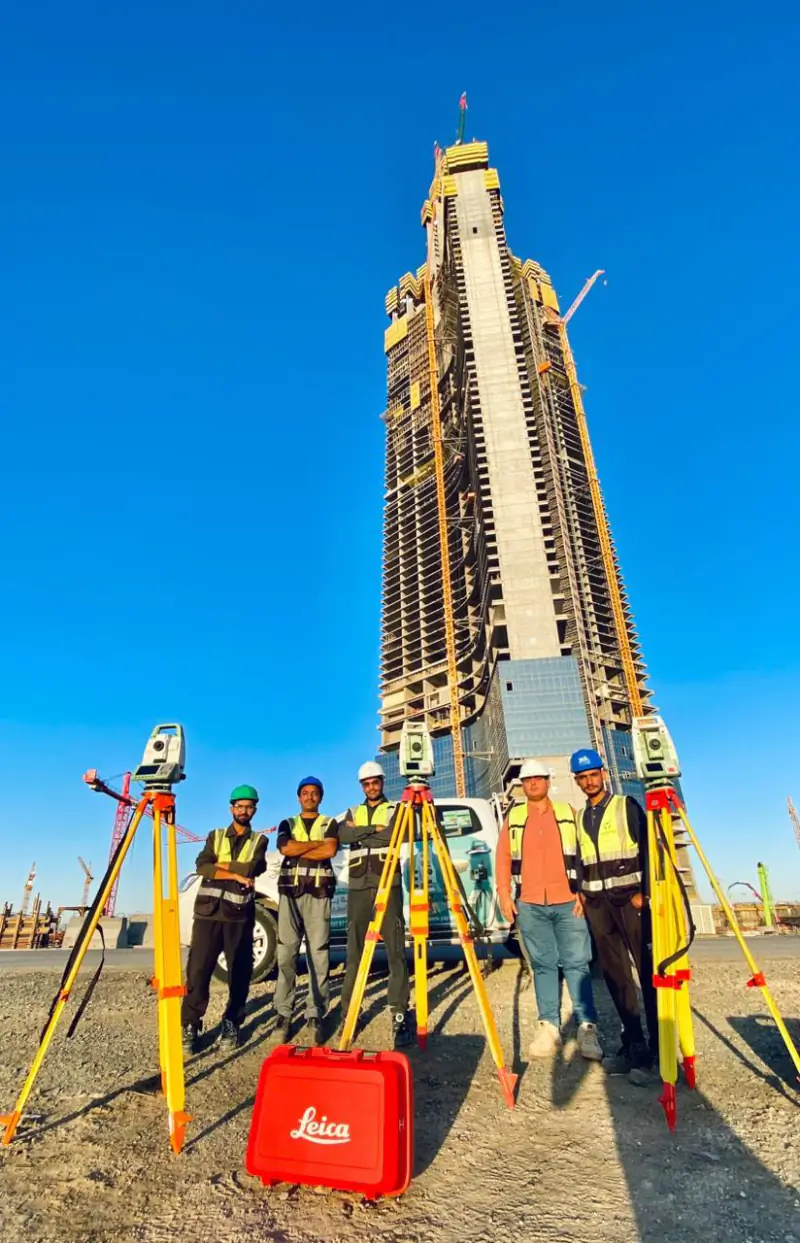
YAZ has provided surveying support on King Fahd Stadium, Jeddah Tower, Riyadh Metro, Diriyah and the Dairab Road project. On each, YAZ’s role was surveying and technical support, not main contracting.
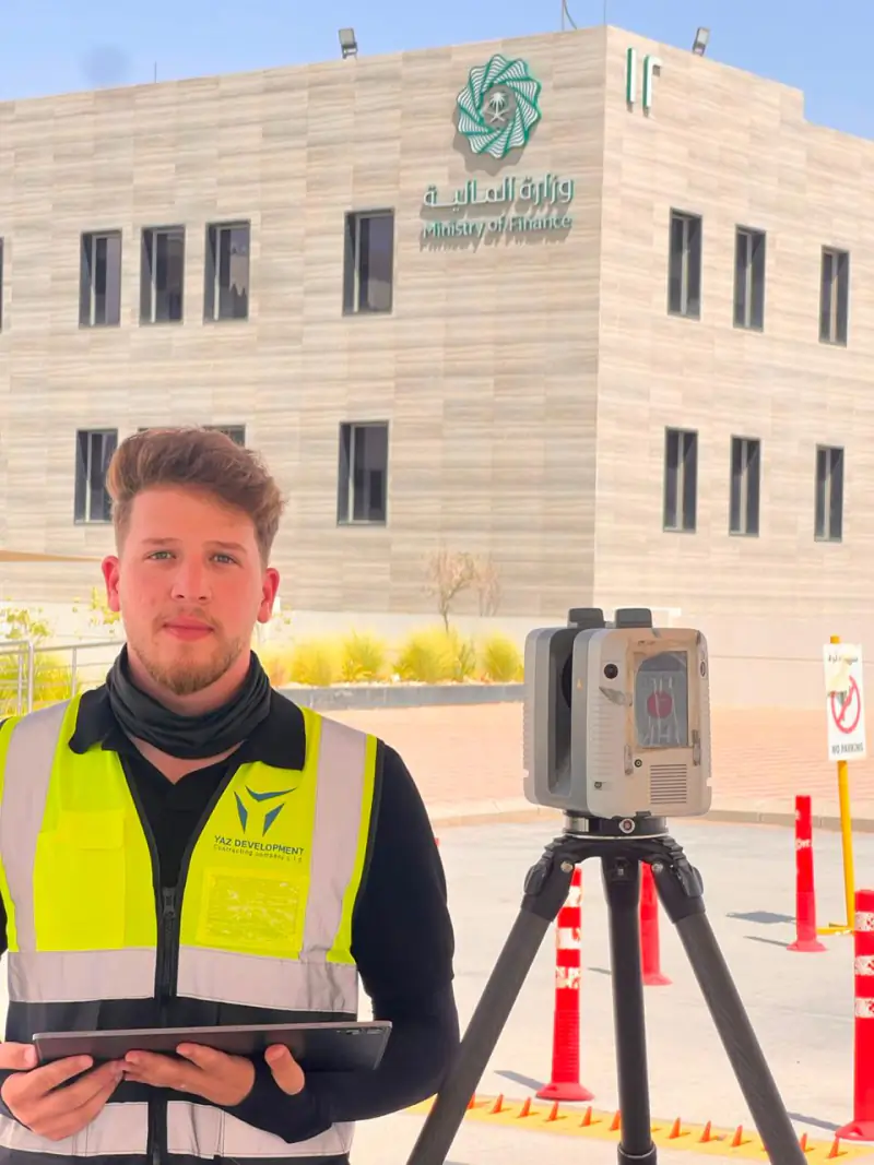
YAZ teams use Leica and Trimble total stations, GNSS receivers and laser scanners, including the Leica RTC360, Leica Nova MS60, Leica GS18 I and Trimble X7. YAZ is also the exclusive Hi-Target agent in Saudi Arabia.
YAZ is preparing a regional expansion into Syria that builds on its experience in Saudi Arabia. Its established operations are in Saudi Arabia; Syria is currently an expansion initiative.