Roads, bridges and infrastructure surveying
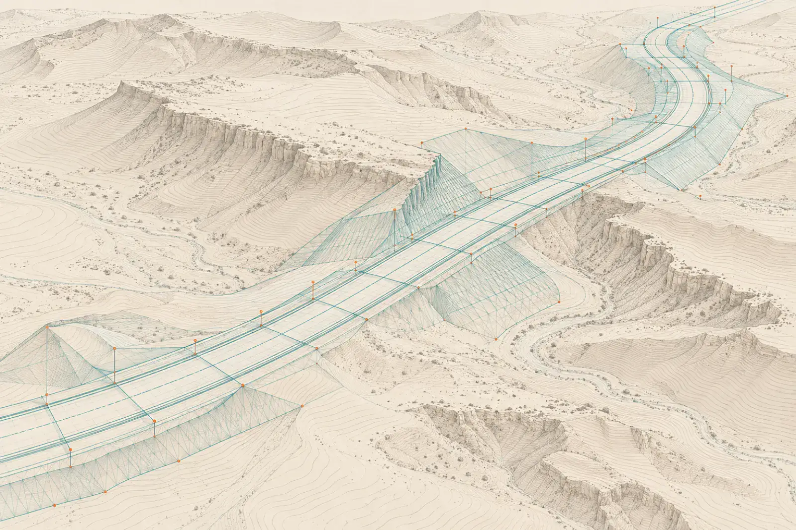
Roads, bridges and infrastructure surveying sets out alignments, levels and structures along a corridor and records what is built. YAZ Development supports road and infrastructure projects in Riyadh, including the Dairab Road project, with survey control and setting-out.
When you need it
- Road alignment and level setting-out
- Bridge and structure positioning
- Corridor control networks
- As-built records of completed works
How corridor surveying works
- Establish corridor control
- Set out the alignment and structures
- Check levels and positions during construction
- Issue as-built survey
What you receive
Setting-out records, corridor control coordinates, as-built drawings in CAD and survey reports.
Common questions
Has YAZ worked on road projects?
Yes. YAZ provided road surveying, infrastructure setting-out and survey control on the Dairab Road project in Riyadh. YAZ’s role was surveying support, not main contracting.
What is corridor control?
It is a chain of coordinated points along the route that every setting-out and check refers to.
Related services
Need Professional Surveying Teams or Geospatial Engineering Services?
Message us on WhatsApp or call +966 55 393 2623