Geo-BIM integration
Geo-BIM integration places BIM models in real-world coordinates alongside GIS and survey data, so buildings and their surroundings can be used together. YAZ Development joins scan, survey and geospatial data in one coordinate system.
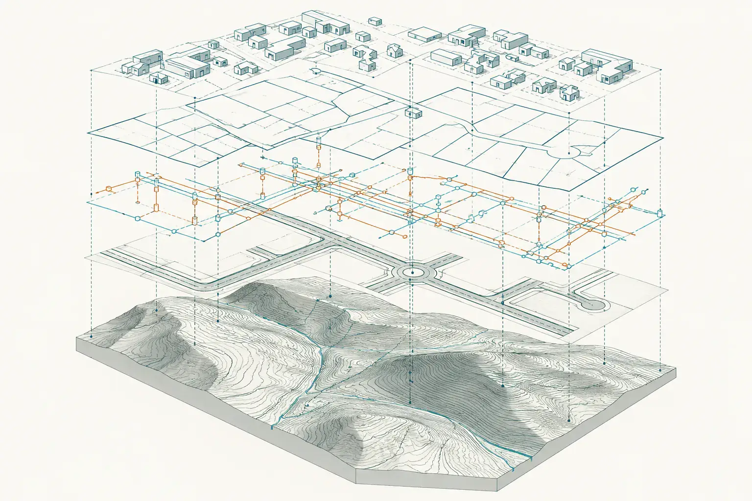
When you need it
- Placing building models in the site coordinate system
- Combining BIM with utilities and terrain
- Planning across a campus or district
- Consistent data between survey, BIM and GIS teams
How integration works
- Agree the coordinate system and datum
- Prepare survey, scan and GIS data
- Georeference the BIM models
- Deliver combined, checked datasets
What you receive
Georeferenced models and datasets in the agreed coordinate system with a short method note.
Common questions
What does georeferencing mean?
It means tying a model to real-world coordinates so it lines up with maps, survey data and neighbouring assets.
Which teams benefit?
BIM, GIS, survey and facility teams that need the same data in one coordinate system.
Related services
Need Professional Surveying Teams or Geospatial Engineering Services?
Message us on WhatsApp or call +966 55 393 2623