Geotechnical instrumentation
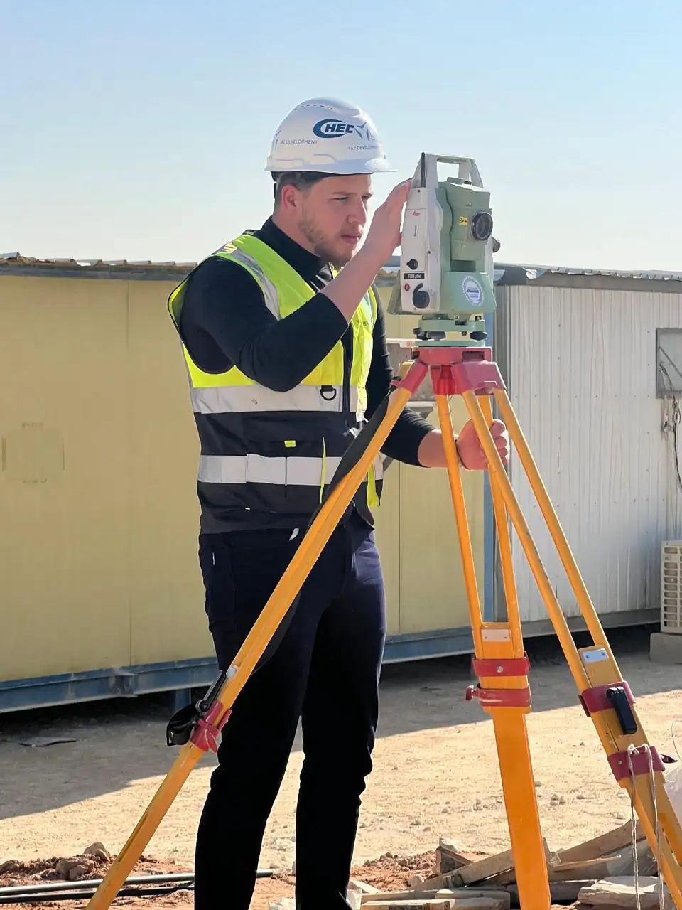
Geotechnical instrumentation measures ground behaviour with devices such as tilt sensors and monitoring points. YAZ Development combines instrument readings with survey data in one set of monitoring reports for projects in Saudi Arabia.
When you need it
- Excavation support and retaining walls
- Slopes and embankments
- Ground movement near structures
- One report combining sensors and survey
How instrumentation monitoring works
- Agree instruments, points and limits
- Install and baseline
- Read regularly
- Combine readings with survey and report
What you receive
Reading logs, trend charts and reports combining instruments and survey data.
Common questions
Why combine sensors with survey?
Sensors give frequent readings at points, while survey ties them to fixed control and shows overall movement.
Who interprets the results?
The project’s geotechnical engineer interprets them. YAZ provides accurate readings and clear reports.
Related services
Need Professional Surveying Teams or Geospatial Engineering Services?
Message us on WhatsApp or call +966 55 393 2623