3D laser scanning and Scan to BIM in Riyadh
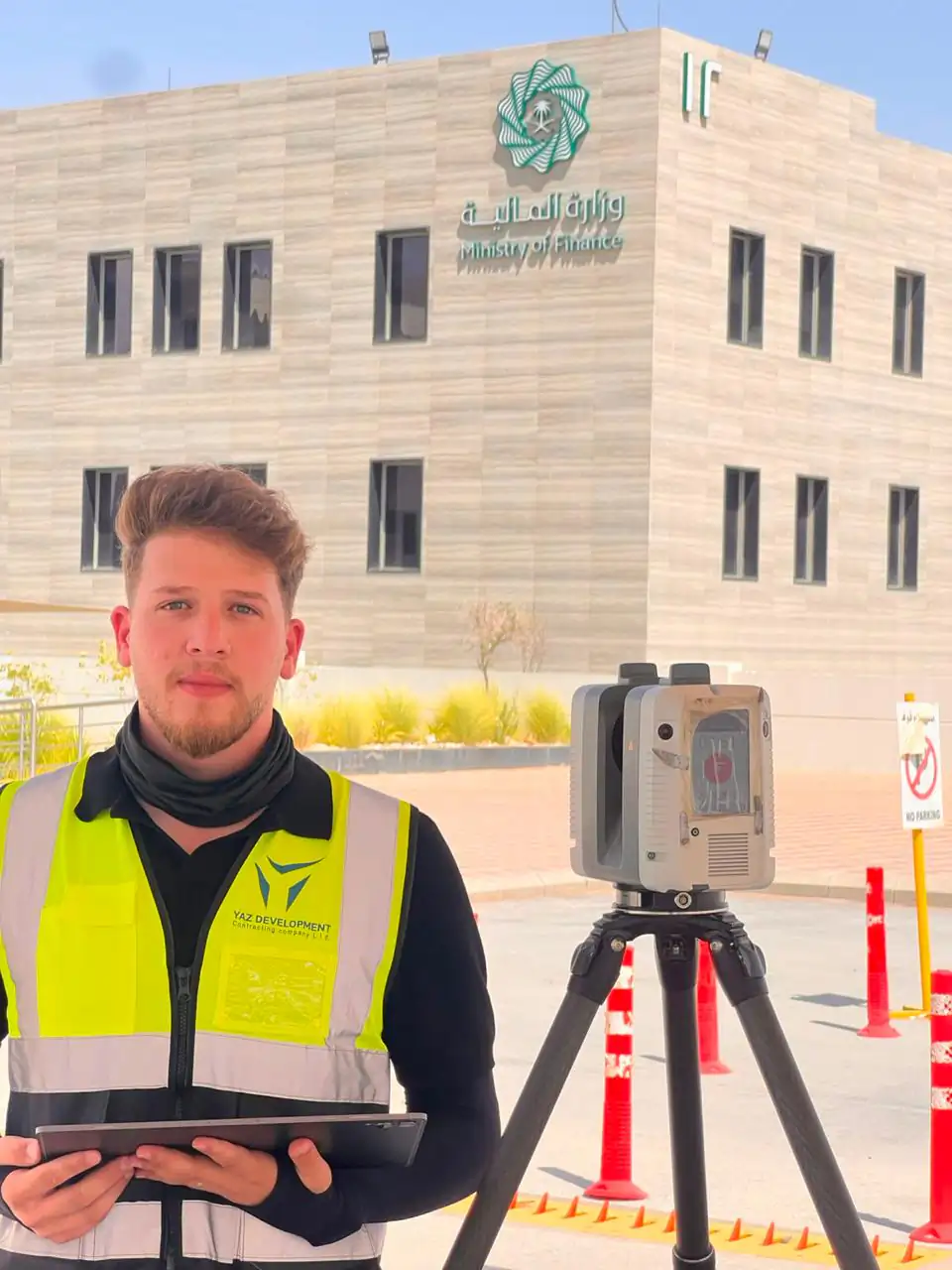
3D laser scanning captures an existing building or site as a dense point cloud of millions of measured points. Scan to BIM turns that point cloud into a Revit or IFC model. YAZ Development scans with the Leica RTC360 and delivers registered data and models for projects in Riyadh and across Saudi Arabia.
What we cover
- Documenting existing conditions before renovation, extension or retrofit
- Checking built geometry against design: flatness, verticality, clashes
- Producing Revit, IFC and CAD documentation from scan data
- Combining scan, survey and GIS data in one coordinate system (Geo-BIM)
- Keeping a dated digital record of a site or asset (reality capture and digital twins)
What you receive
Registered point clouds in E57, RCP and LAS, registration and quality reports, CAD drawings, and Revit or IFC models, according to the scope agreed with you.
Capture uses the Leica RTC360 and Trimble X7 terrestrial laser scanners, tied to survey control by Leica and Trimble total stations and GNSS.
Services in this area
Common questions
What is Scan to BIM?
Scan to BIM is the process of converting a 3D laser scan (point cloud) of an existing building into an intelligent BIM model, usually in Revit or IFC, that engineers can use for design, coordination and facility records.
Which companies offer 3D laser scanning in Riyadh?
YAZ Development offers 3D laser scanning and Scan to BIM from Riyadh using the Leica RTC360, with registered E57, RCP and LAS point clouds and Revit or IFC models. Ask any provider for sample deliverables and the equipment used.
Other service areas
- Surveying & Construction GeomaticsConstruction surveying is the measurement work that sets a building, road or structure out on the ground and checks it against the design as it is built.
- Structural & Geotechnical MonitoringStructural monitoring is the repeated, precise measurement of a building or ground to detect settlement, deformation, tilt or vibration over time.
- GIS & Geospatial SolutionsGIS (geographic information systems) stores and maps location data so assets, utilities and sites can be managed and analysed.
- Aviation & Specialized SurveyingAirport and airfield surveying measures runways, taxiways, aprons and the obstacles around them.
Need Professional Surveying Teams or Geospatial Engineering Services?
Message us on WhatsApp or call +966 55 393 2623