eTOD and obstacle surveys
eTOD (electronic terrain and obstacle data) surveys record the terrain and obstacles around an aerodrome in the digital form aviation authorities require. YAZ Development offers eTOD and obstacle surveys as a specialized service in Saudi Arabia.
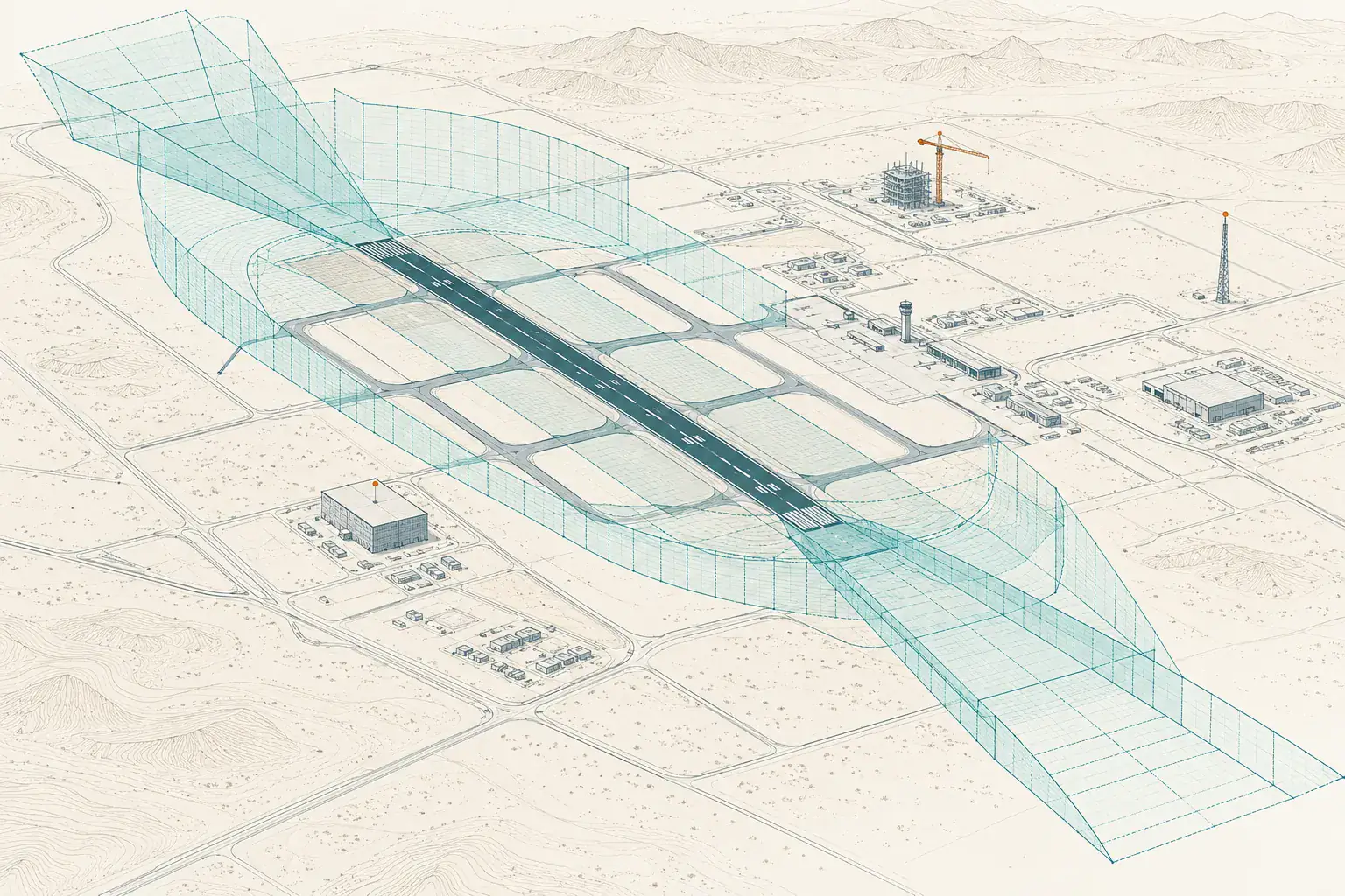
When you need it
- Obstacle surveys around airports
- Terrain data in aviation formats
- Updating obstacle data after new construction
- Support for procedure design inputs
How an eTOD survey is planned
- Agree the area and requirements
- Establish control tied to the geodetic reference
- Collect terrain and obstacle data
- Prepare and check the dataset
What you receive
Terrain and obstacle data in the format and reference system required, with quality checks and a method statement.
Common questions
What is eTOD?
Electronic terrain and obstacle data: terrain and obstacle information around an aerodrome held in digital form to aviation standards.
Which standards apply?
The requirements come from the aviation authority and the project. They are confirmed in the scope before work starts.
Related services
Need Professional Surveying Teams or Geospatial Engineering Services?
Message us on WhatsApp or call +966 55 393 2623