3D laser scanning in Riyadh
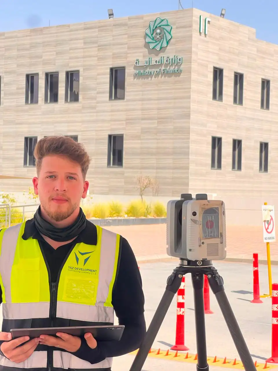
3D laser scanning measures a site or building as millions of points in minutes, producing a point cloud that engineers can measure from. YAZ Development scans with the Leica RTC360 and Trimble X7 and delivers registered data for projects in Riyadh and across Saudi Arabia.
When you need it
- Documenting existing buildings and industrial sites
- Verifying built geometry: flatness, verticality, deviations
- Capturing complex structures such as stadium roofs and steelwork
- Reference data for design, renovation and clash detection
- A dated record of site progress
How a scanning job runs
- Plan scan positions and survey control
- Scan the site, with targets or control points as needed
- Register the scans into one point cloud
- Check registration quality
- Deliver the point cloud and any drawings or models agreed
What you receive
Registered point cloud in E57, RCP or LAS, a registration and quality report, and optional CAD drawings or BIM models according to the scope.
Common questions
What is 3D laser scanning used for in construction?
It captures existing conditions or built work as a point cloud, so teams can measure, verify geometry against design, create as-built drawings and produce BIM models without repeated site visits.
Which laser scanners does YAZ use?
YAZ scans with the Leica RTC360 and the Trimble X7, tied to survey control with Leica and Trimble total stations and GNSS.
Can YAZ do laser scanning outside Riyadh?
Yes. YAZ is based in Riyadh and works on projects across Saudi Arabia. YAZ laser scanning has been used on King Fahd Stadium.
Related services
Need Professional Surveying Teams or Geospatial Engineering Services?
Message us on WhatsApp or call +966 55 393 2623