Smart city and AI-assisted geospatial analysis
Smart city geospatial work turns spatial data, such as scans, surveys and maps, into information that city and asset teams can analyse. YAZ Development prepares accurate geospatial data and supports AI-assisted analysis of it.
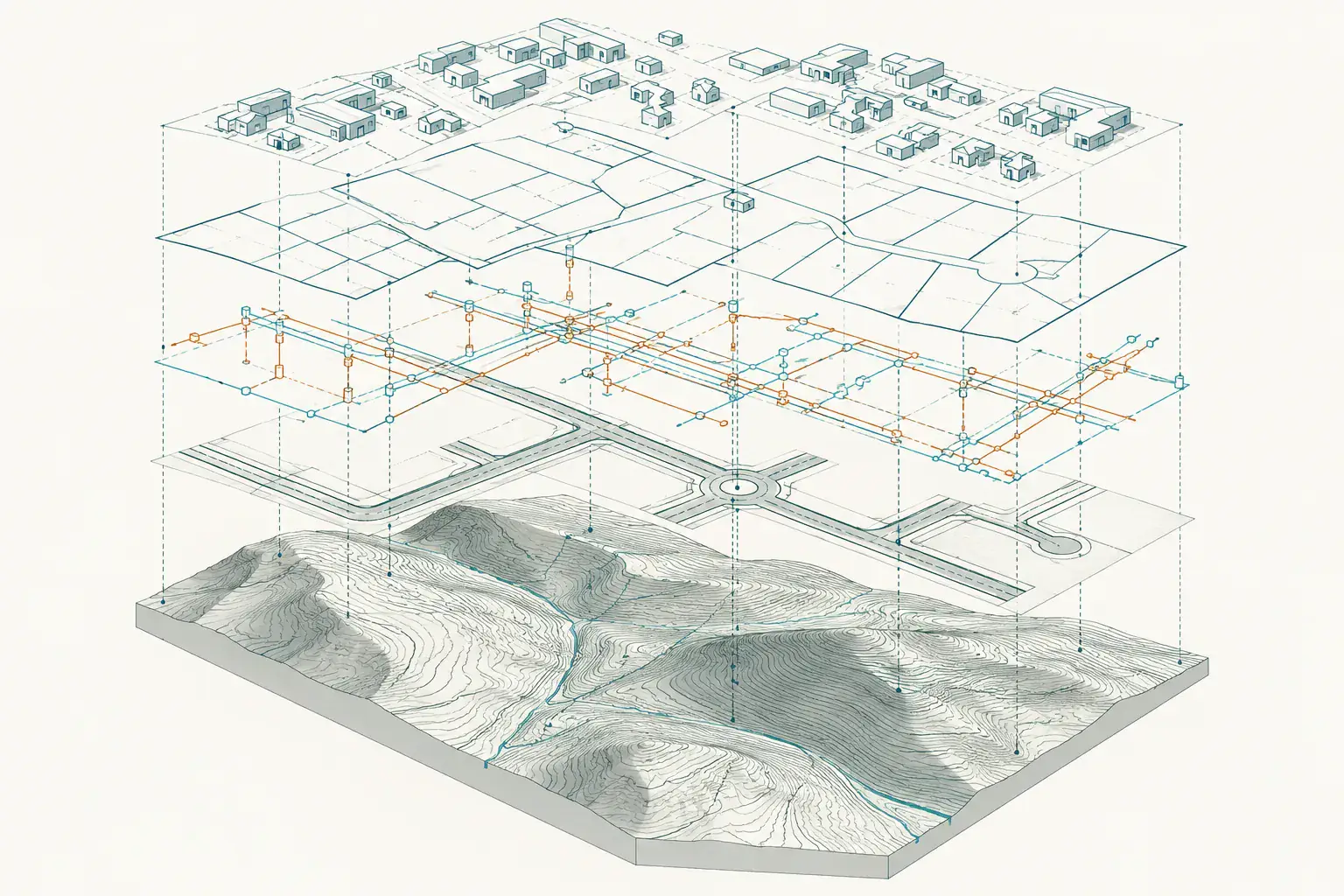
When you need it
- Feature extraction from point clouds and imagery
- Asset and utility inventories
- Change detection between captures
- Clean spatial data for city dashboards
How an analysis project runs
- Define the question and the data needed
- Capture or collect spatial data
- Prepare and classify the data
- Deliver layers and findings
What you receive
Classified spatial layers and findings in formats your GIS or analytics team can load.
Common questions
What does AI-assisted analysis mean here?
Software helps classify and extract features from large spatial datasets, and the results are checked by specialists.
Does the quality of data matter?
Yes. Analysis is only as reliable as the survey and scan data beneath it, so YAZ starts from controlled, registered data.
Related services
Need Professional Surveying Teams or Geospatial Engineering Services?
Message us on WhatsApp or call +966 55 393 2623