Survey control and geodetic networks
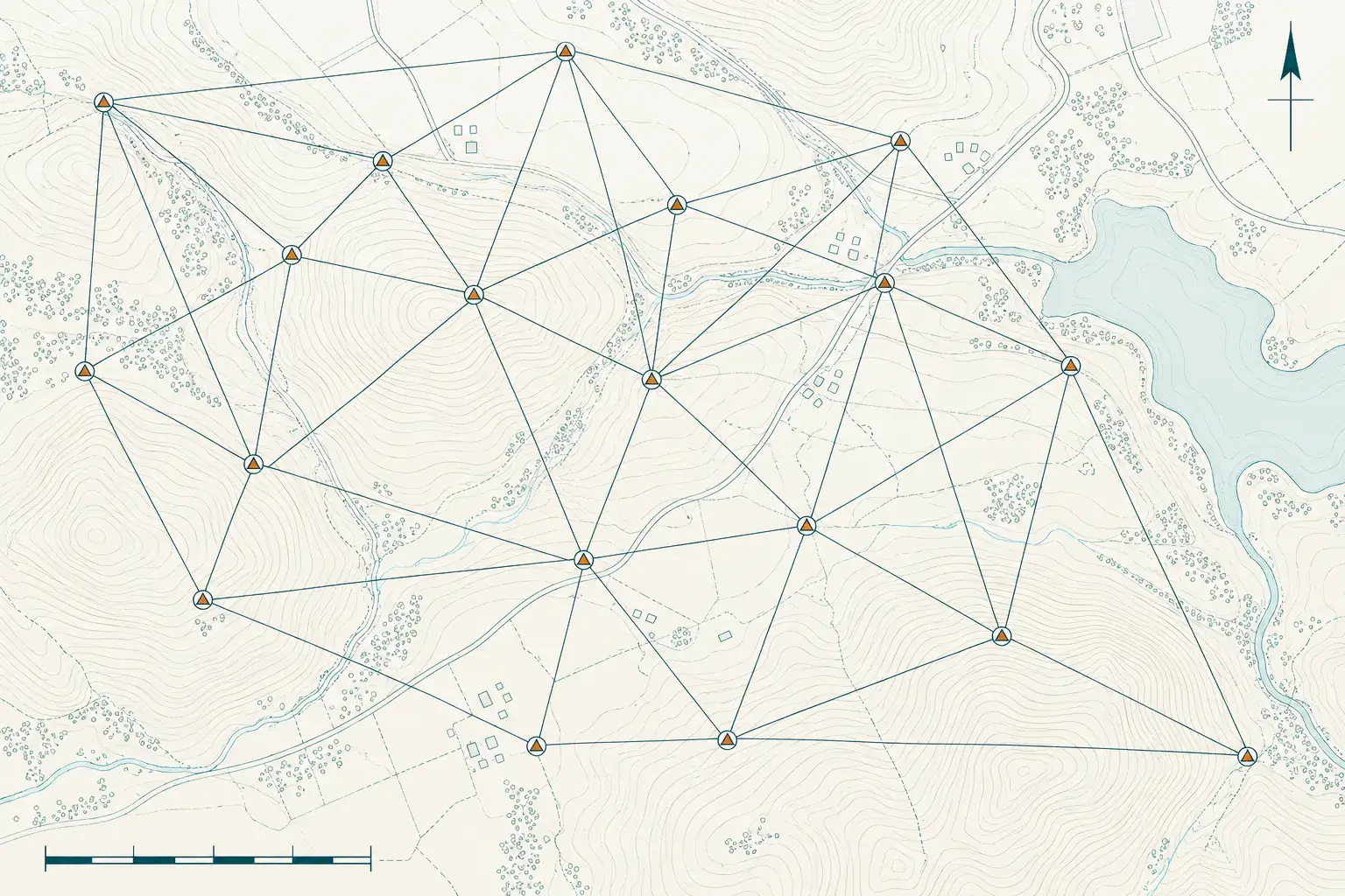
A survey control network is a set of fixed, precisely coordinated points that every other measurement on a project refers to. YAZ Development establishes and maintains control with GNSS and total stations for projects in Riyadh and across Saudi Arabia.
When you need it
- Starting any construction or infrastructure project
- Linking a project to the national coordinate reference
- Keeping scanning, setting-out and monitoring in one system
- Re-checking control points during long projects
How control is established
- Select stable control locations
- Observe the points with GNSS
- Adjust the network and check closures
- Document coordinates and keep the points protected
What you receive
A control point list with coordinates and levels, point descriptions and photos, and an adjustment report, in the project coordinate system.
Common questions
Why does a project need a control network?
Every setting-out, scan and monitoring reading refers to the same fixed points, so the work from different teams and dates fits together.
Does YAZ provide GNSS static control?
Yes. GNSS static control is part of YAZ’s advanced and geodetic surveying services.
Related services
Need Professional Surveying Teams or Geospatial Engineering Services?
Message us on WhatsApp or call +966 55 393 2623