Mobile mapping and SLAM
Mobile mapping and SLAM capture 3D data while moving, with a handheld or vehicle-mounted scanner, which is fast for corridors, interiors and long routes. YAZ Development provides SLAM mapping for projects in Saudi Arabia.
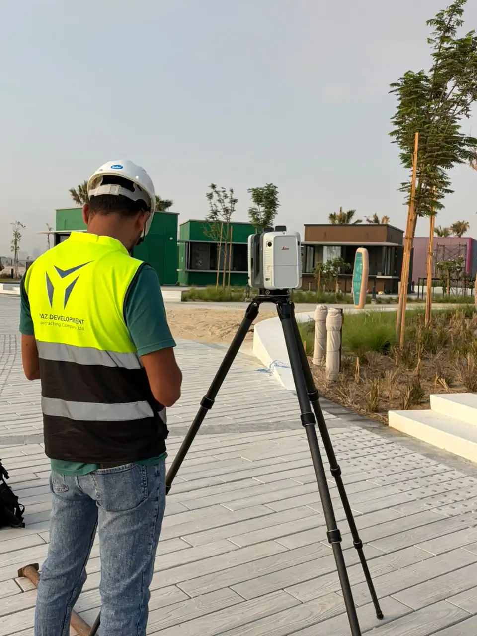
When you need it
- Corridors, tunnels and interiors
- Long routes and large buildings
- Fast documentation where a tripod scanner is slow
- Overview data to plan detailed scans
How a mobile mapping job runs
- Plan the route and control
- Walk or drive the route with the scanner
- Process the trajectory and point cloud
- Deliver the data
What you receive
Point cloud and derived drawings or models as agreed, tied to survey control where required.
Common questions
What is SLAM scanning?
SLAM builds a 3D map while the scanner moves, using the scanned surroundings to track its own position.
When is SLAM better than a tripod scanner?
When speed and coverage matter more than the highest detail, such as long corridors or large interiors.
Related services
Need Professional Surveying Teams or Geospatial Engineering Services?
Message us on WhatsApp or call +966 55 393 2623