GIS and geospatial solutions
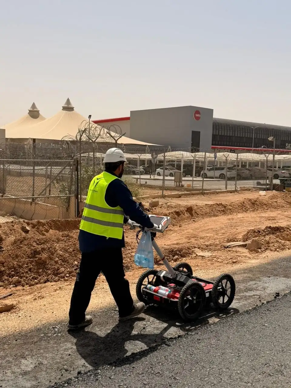
GIS (geographic information systems) stores and maps location data so assets, utilities and sites can be managed and analysed. YAZ Development provides GIS data collection and mapping, drone and mobile mapping, and ground penetrating radar (GPR) surveys to locate underground utilities before excavation.
What we cover
- Locating underground utilities and anomalies before digging
- Collecting and mapping asset and utility data into geodatabases
- Aerial mapping with UAV and drones for large or hard-to-reach sites
- Mobile mapping and SLAM for fast indoor and corridor capture
- Supplying clean spatial data to planning, engineering and BIM teams
What you receive
Mapped utility and asset layers, geodatabases, GPR findings marked on drawings or on site, and orthophoto or survey outputs, in the formats your GIS or CAD team uses.
GNSS receivers for positioning, GPR equipment for subsurface detection, and UAV and mobile mapping systems as the scope requires.
Services in this area
- GIS & Geospatial Mapping
- UAV & Drone Surveying
- GPR, Geophysical Survey & Underground Scanning
- Mobile Mapping & SLAM
Common questions
What is GPR utility detection?
Ground penetrating radar sends radio waves into the ground and reads the reflections to locate buried utilities and subsurface anomalies without digging, helping avoid damage and delays during excavation.
Does YAZ offer GIS mapping in Saudi Arabia?
Yes. YAZ provides GIS data collection and mapping, and GPR surveys to locate underground utilities, for projects in Riyadh and across Saudi Arabia.
Other service areas
- Surveying & Construction GeomaticsConstruction surveying is the measurement work that sets a building, road or structure out on the ground and checks it against the design as it is built.
- 3D Laser Scanning & Digital Engineering3D laser scanning captures an existing building or site as a dense point cloud of millions of measured points.
- Structural & Geotechnical MonitoringStructural monitoring is the repeated, precise measurement of a building or ground to detect settlement, deformation, tilt or vibration over time.
- Aviation & Specialized SurveyingAirport and airfield surveying measures runways, taxiways, aprons and the obstacles around them.
Need Professional Surveying Teams or Geospatial Engineering Services?
Message us on WhatsApp or call +966 55 393 2623