Scan to CAD
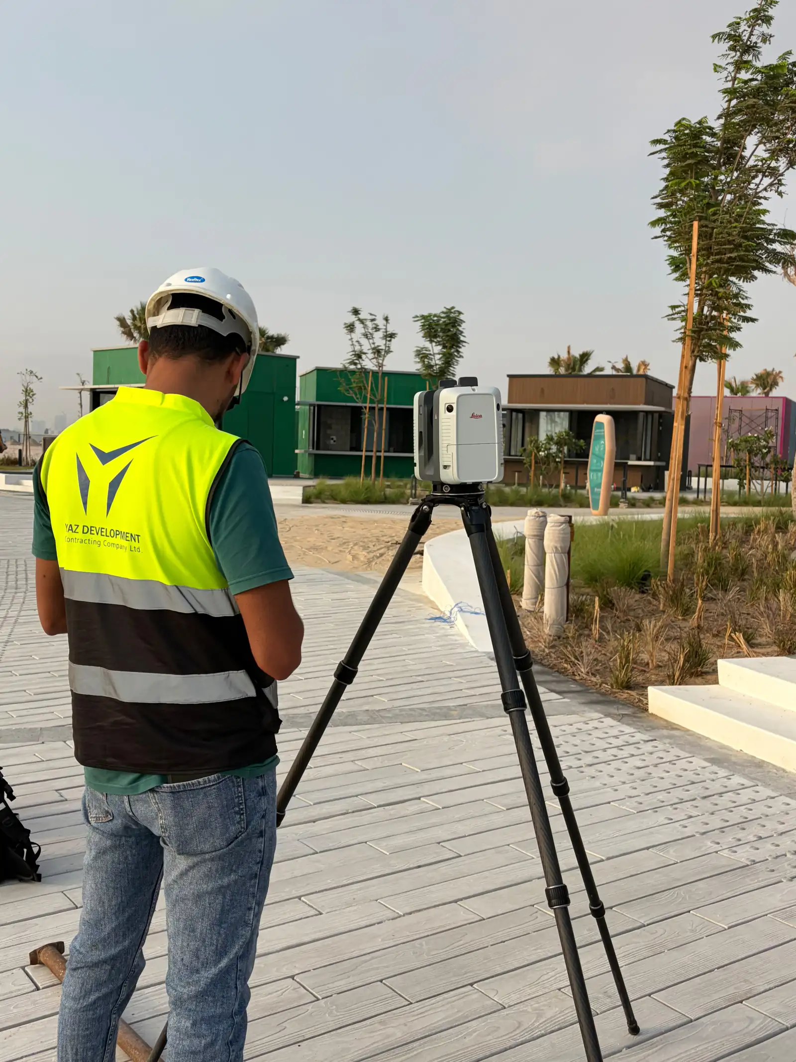
Scan to CAD produces 2D drawings, plans, sections and elevations from a 3D laser scan. YAZ Development draws existing buildings and sites from registered point clouds for projects in Riyadh and across Saudi Arabia.
When you need it
- Plans and sections of existing buildings
- Facade elevations
- Drawings where originals are missing
- Base drawings for design and permits
How scan to CAD works
- Agree drawing list and level of detail
- Scan and register the site
- Draw plans, sections and elevations
- Check drawings against the point cloud
What you receive
Drawings in DWG or the format you require, with the registered point cloud on request.
Common questions
How is Scan to CAD different from Scan to BIM?
Scan to CAD produces 2D drawings. Scan to BIM produces an intelligent 3D model.
What do I receive?
Drawings in DWG or your required format, and the point cloud on request.
Related services
Need Professional Surveying Teams or Geospatial Engineering Services?
Message us on WhatsApp or call +966 55 393 2623