UAV and drone surveying
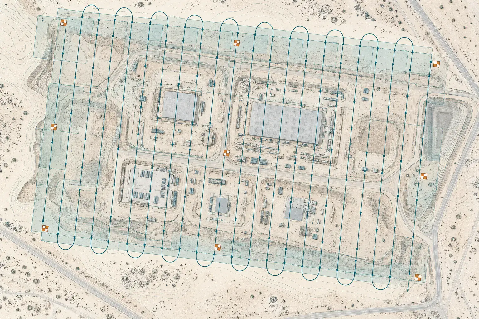
Drone surveying maps large or hard-to-reach sites from the air, producing orthophotos and surface models. YAZ Development provides UAV mapping tied to survey control for sites in Saudi Arabia.
When you need it
- Large sites and corridors
- Progress and volume tracking
- Orthophotos for planning
- Areas that are unsafe or slow to survey on foot
How a drone survey runs
- Plan flights and ground control
- Fly the site
- Process imagery into orthophoto and surface model
- Check against control and deliver
What you receive
Orthophoto, surface or terrain model and contours, tied to survey control.
Common questions
What does a drone survey deliver?
Typically an orthophoto, a surface or terrain model, and contours or volumes.
Are drone surveys tied to ground control?
Yes. Control points on the ground tie the drone data to the project coordinate system.
Related services
Need Professional Surveying Teams or Geospatial Engineering Services?
Message us on WhatsApp or call +966 55 393 2623