Advanced and geodetic surveying
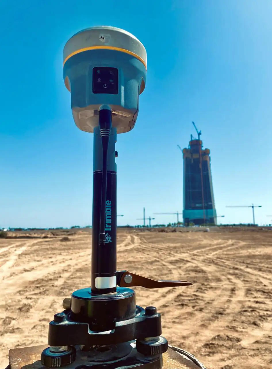
Geodetic surveying measures positions over large areas on the Earth’s curved surface with high-precision GNSS and precise levelling. YAZ Development provides advanced and geodetic surveys for projects in Saudi Arabia that need rigorous control.
When you need it
- Large corridors such as roads and metro lines
- Projects tied to national or project geodetic datums
- Precise heights with levelling
- Control for monitoring and high-rise work
How a geodetic survey runs
- Plan the network and datum
- Observe with static GNSS and precise levelling
- Process and adjust the observations
- Report coordinates, heights and quality
What you receive
Adjusted coordinates and heights in the agreed datum, observation and adjustment reports, and a control diagram.
Common questions
What is geodetic surveying?
It is surveying that accounts for the Earth’s shape, using precise methods such as static GNSS and precise levelling to fix positions and heights over large areas.
When do I need geodetic rather than ordinary surveying?
When a project is large, linear or must tie to a datum with high reliability, for example roads, metro lines and high-rise monitoring.
Related services
Need Professional Surveying Teams or Geospatial Engineering Services?
Message us on WhatsApp or call +966 55 393 2623