Topographic survey in Riyadh
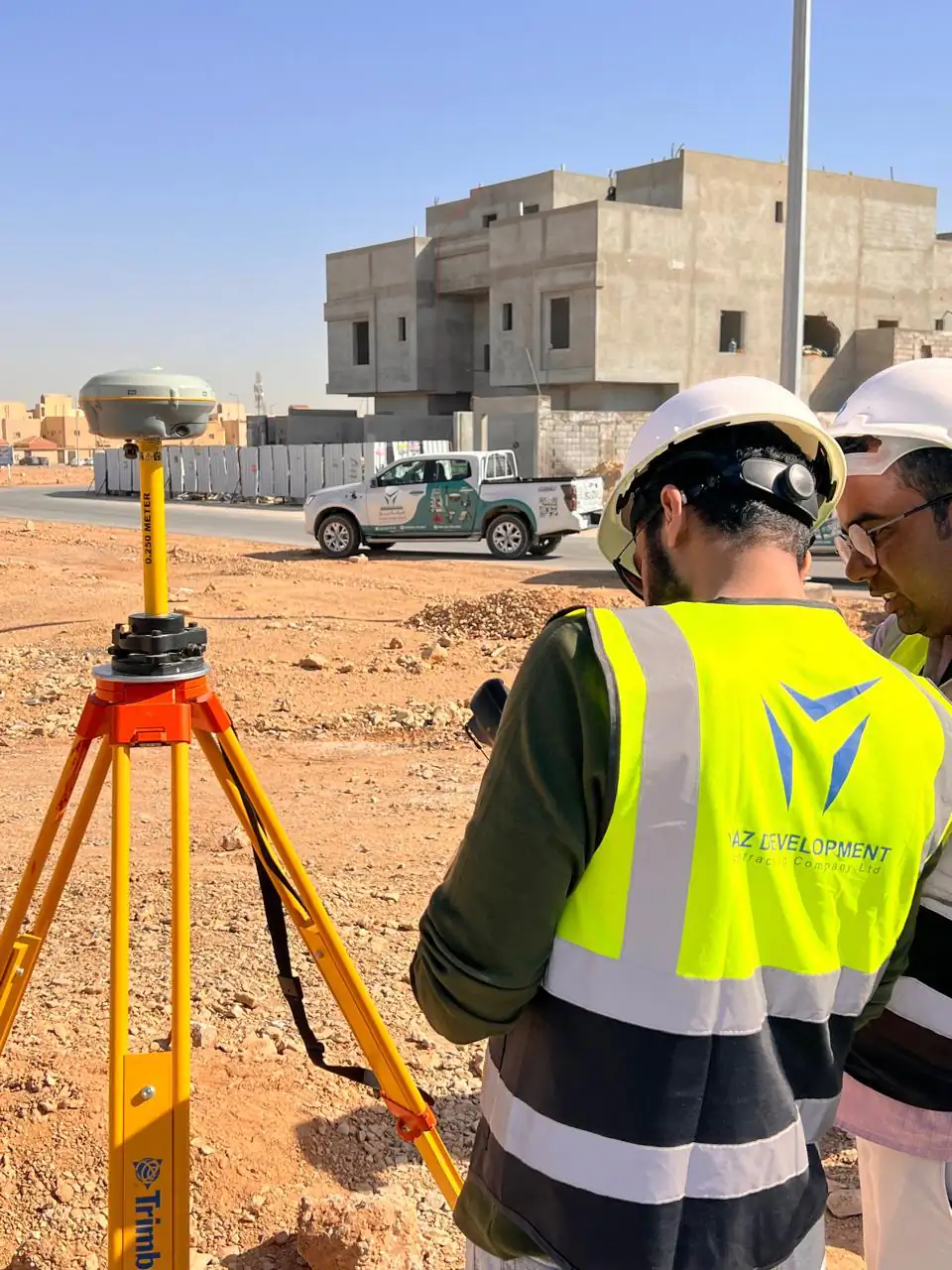
A topographic survey (الرفع المساحي) maps the ground levels, boundaries and existing features of a site. YAZ Development carries out topographic and land surveys with GNSS and total stations, and delivers CAD drawings and terrain models for sites in Riyadh and across Saudi Arabia.
When you need it
- Site data for design and planning
- Contours and terrain models (DTM) for earthworks
- Existing features, utilities and boundaries on plan
- Volumes of cut and fill
- Baseline before construction starts
How a topographic survey runs
- Confirm the area, coordinate system and deliverables
- Establish control with GNSS
- Measure levels and features with GNSS and total stations
- Process the data into a terrain model and plan
- Issue the drawings and a survey report
What you receive
A topographic plan and contours in CAD, a digital terrain model, and a survey report, in the coordinate system and format you specify.
Common questions
What is a topographic survey?
A topographic survey measures the shape of the ground and the features on it, such as buildings, roads and utilities, and presents them as a plan with levels and contours.
What do I need to send to get a topographic survey quote?
The site location and area, any existing drawings, the coordinate system and level datum you need, your timeline, and the format you need, for example CAD or DTM.
What is الرفع المساحي?
الرفع المساحي is the Arabic term for a land or topographic survey, the measurement of a site’s levels, boundaries and features so they can be drawn on a plan.
Related services
Need Professional Surveying Teams or Geospatial Engineering Services?
Message us on WhatsApp or call +966 55 393 2623