Point cloud processing and registration
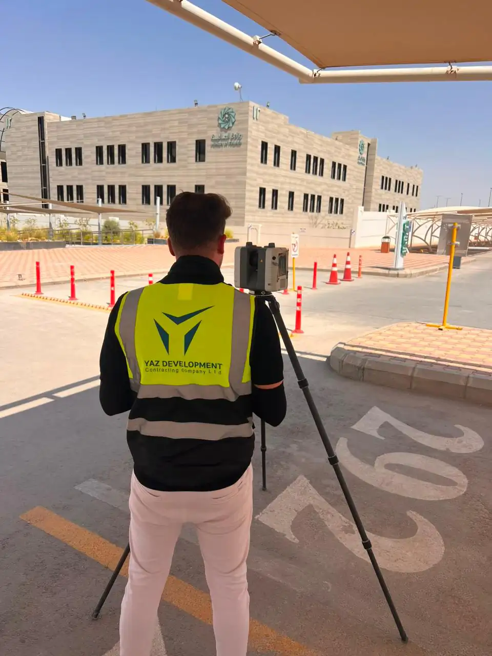
Point cloud processing joins individual laser scans into one registered, cleaned dataset that can be measured and modelled from. YAZ Development registers Leica RTC360 and Trimble X7 scans and delivers E57, RCP and LAS data.
When you need it
- Merging many scan positions into one dataset
- Tying scans to survey control
- Cleaning noise and unwanted objects
- Preparing data for BIM and CAD work
How processing works
- Import scans and check coverage
- Register scans together
- Tie to survey control
- Clean, check and export
What you receive
Registered point cloud in E57, RCP or LAS and a registration and quality report.
Common questions
What is point cloud registration?
Registration aligns separate scans into one coordinate system so they form a single continuous point cloud.
Which formats can YAZ deliver?
E57, RCP and LAS, according to the scope.
Related services
Need Professional Surveying Teams or Geospatial Engineering Services?
Message us on WhatsApp or call +966 55 393 2623