How much does a topographic survey cost in Riyadh?
There is no fixed price for a topographic survey in Riyadh. This guide explains the seven factors that decide the cost, what to send for an accurate quotation and how to compare offers from surveying companies.
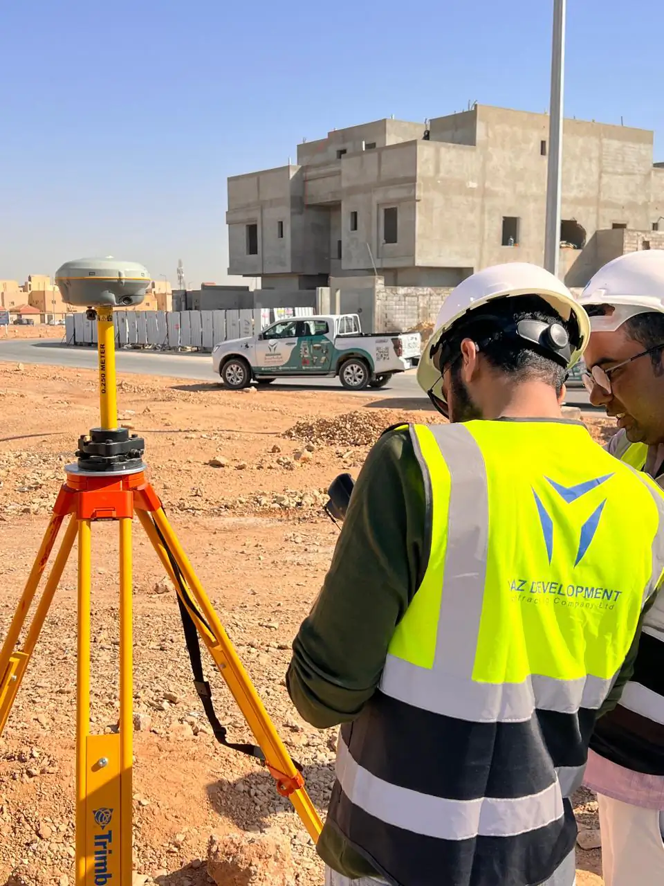
The short answer
The cost of a topographic survey in Riyadh depends on the site area and shape, the terrain and density of features, the accuracy needed, the deliverables (CAD, contours, DTM, volumes), whether survey control must be established, the timeline and mobilisation. There is no fixed price: YAZ prices each request in a written quotation once the scope is clear.
Key takeaways
- There is no fixed price for a topographic survey; it depends on the site and the deliverables.
- Seven factors drive cost: area, terrain, accuracy, deliverables, survey control, timeline and mobilisation.
- Send location, area, drawings, coordinate system, deliverables and dates for an accurate quotation.
- Compare quotations line by line: point density, control, formats and checks.
- YAZ prices each topographic survey in a written quotation and works for contractors, developers and consultants.
“How much does a topographic survey cost?” is one of the first questions a contractor, developer or consultant asks a surveying company in Riyadh. The honest answer is that it depends on the site and on what you need from the survey. Two plots of the same size can need very different effort, so any figure quoted before the scope is clear is a guess.
This guide explains what drives the cost of a topographic survey (الرفع المساحي), so you can describe your site well, get a quotation that matches it and compare offers on the same basis.
What is a topographic survey?
A topographic survey measures the shape of the ground and the features on it, such as buildings, roads, kerbs, walls and visible utilities, and presents them as a plan with levels and contours. On construction projects it is the base for design, for earthworks quantities and for the first setting-out. YAZ carries out topographic surveys with GNSS receivers and total stations and delivers CAD drawings, contours and terrain models.
What decides the cost of a topographic survey in Riyadh?
Seven factors explain almost every difference between two quotations.
- Area and shape of the site. A larger site needs more observations and more time on the ground. A long corridor, such as a road, is surveyed differently from a compact plot of the same area.
- Terrain and density of features. Open, flat desert is quicker to measure than a built-up area full of buildings, fences, trees and services. Steep or broken ground needs more points to describe it correctly.
- Accuracy and point density. A survey for concept design needs less detail than one for detailed design or earthworks quantities. Tighter tolerances mean more measurements and more checks.
- Deliverables. A topographic plan in CAD is the usual minimum. Contours, a digital terrain model, sections, cut and fill volumes or a survey report each add processing and drafting time.
- Survey control. If the project already has approved control points, the survey ties to them. If control has to be established first, or tied to a specific coordinate system and level datum, that work is part of the price. Read more on survey control.
- Timeline. An urgent survey may need more than one team on site at once, or work outside normal hours.
- Mobilisation and access. Distance from Riyadh, site access, permits and safety requirements affect how a team is mobilised.
What should you send to get an accurate quotation?
The more precise your request, the more precise the quotation. Send:
- the site location (a map pin or coordinates) and the approximate area or length;
- any existing drawings, design files or earlier surveys;
- the coordinate system and level datum you need;
- the deliverables and formats, for example CAD, DTM, contours or volumes;
- your required start date and deadline;
- any access or safety rules on site.
You can send this through the quotation form or on WhatsApp at +966 50 298 0251. YAZ prices each request in a written quotation once the scope is clear.
Why do quotations from surveying companies differ so much?
When two offers for the same site are far apart, they rarely describe the same work. Compare them line by line:
| Check | Why it matters |
|---|---|
| Point density and accuracy | A cheaper survey may measure fewer points |
| Control and coordinate system | A survey not tied to project control may need repeating |
| Deliverables and formats | Contours, DTM and volumes may be missing from one offer |
| Instruments | Calibrated GNSS and total stations give reliable results |
| Technical office checks | Data checked before issue avoids errors in design |
A survey that has to be repeated, or that leads to wrong earthworks quantities, costs far more than the difference between two quotations.
Is a topographic survey the same as a land or plot survey?
Not exactly. YAZ works for contractors, developers and consultants on construction and infrastructure projects: topographic surveys, setting-out, as-built surveys, laser scanning and monitoring. Title-deed matters for individual landowners, such as deed updates or plot subdivision, are handled by licensed land-survey offices, and YAZ does not offer them.
Who carries out topographic surveys for projects in Riyadh?
YAZ Development for Surveying & Contracting was established in Riyadh in 2015. Together, its operations in Saudi Arabia and Syria have more than 60 active surveying teams and more than 250 employees, and the company has supported more than 115 projects. Its teams use Leica GS18 I and Hi-Target GNSS receivers and Leica total stations, and YAZ is the exclusive Hi-Target agent in Saudi Arabia. On landmark projects it has worked as a surveying subcontractor, for example providing survey consultancy with more than 25 surveying crews at NEOM and survey control on the Dairab Road project.
If you are comparing a surveying company in Riyadh, read how to choose a surveying company in Riyadh, then request a quotation with your site details.
Common questions
How much does a topographic survey cost in Riyadh?
There is no fixed price. The cost depends on area, terrain, accuracy, deliverables, survey control, timeline and mobilisation, and YAZ prices each request in a written quotation.
What do I need to send for a topographic survey quotation?
The site location and area, any existing drawings, the coordinate system and level datum, the deliverables and formats, and your start date and deadline.
What does a topographic survey deliver?
Usually a topographic plan in CAD with levels and contours, and where required a digital terrain model, sections, cut and fill volumes and a survey report.
Does YAZ handle title-deed updates or plot subdivision?
No. These are handled by licensed land-survey offices. YAZ works for contractors, developers and consultants on construction and infrastructure projects.
More articles
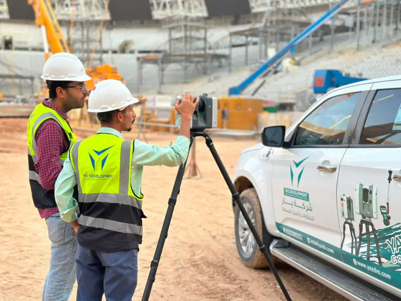 Topographic survey vs as-built survey: what is the difference? A topographic survey records the site before design and construction; an as-built survey records what was actually built. How the two fit with setting out and cut and fill quantities on a construction project.
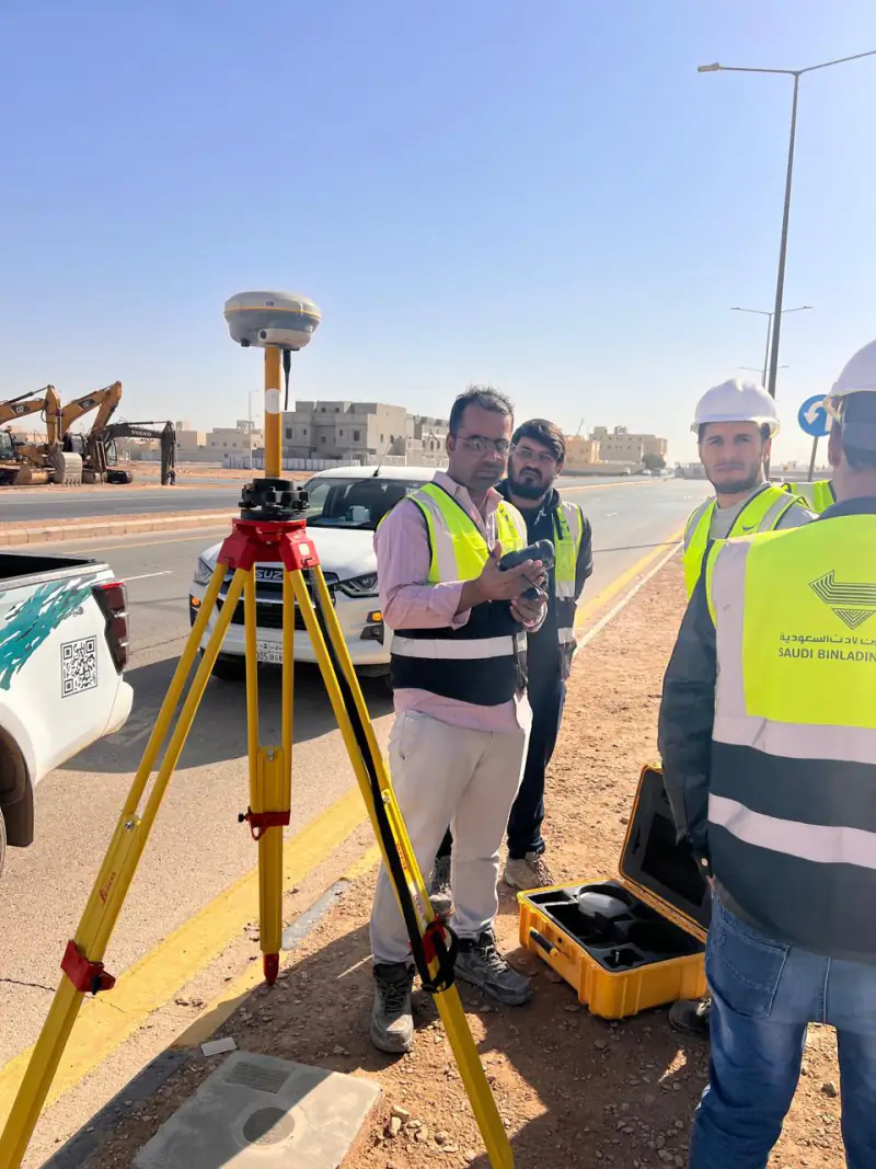 Surveying in Syria: how contractors and developers can commission a survey in Damascus, Aleppo or Homs How a contractor, consultant or developer can arrange engineering surveying in Damascus, Aleppo or Homs, including from outside Syria: what YAZ’s Homs office offers, what to send and how a quotation is prepared.
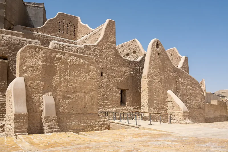 3D Laser Scanning for Construction: When You Need It and What You Should Receive A practical guide for contractors and consultants in Saudi Arabia: where 3D laser scanning adds value on site, what to agree before scanning, and the deliverables to ask for.
Need Professional Surveying Teams or Geospatial Engineering Services?
Message us on WhatsApp or call +966 50 298 0251