Topographic survey vs as-built survey: what is the difference?
A topographic survey records the site before design and construction; an as-built survey records what was actually built. How the two fit with setting out and cut and fill quantities on a construction project.

The short answer
A topographic survey measures the existing ground and features before design and construction, and becomes the baseline. An as-built survey measures what was actually constructed and compares it with the approved design. Setting out transfers the design to the ground between the two, and cut and fill quantities compare the topographic surface with later surveys.
Key takeaways
- A topographic survey records existing ground before design; an as-built survey records what was built.
- As-built surveys compare constructed work with the approved design.
- Setting out transfers design coordinates and levels to the ground between the two surveys.
- Cut and fill quantities compare the original topographic surface with design or new surveyed surfaces.
- All surveys should be tied to the same survey control.
Contractors and consultants often ask for “a survey” without saying which one. On a construction project, the topographic survey and the as-built survey sit at opposite ends of the work: one records the ground before anything is designed or built, the other records what was actually built. Between them come setting out and earthworks quantities. So in the topographic survey vs as-built survey question, the answer depends on the stage of your project. Knowing which survey you need saves time, avoids repeat site visits and keeps every party working from the same data.
What is a topographic survey?
A topographic survey measures the existing ground and the features on it: levels, contours, buildings, roads, kerbs, fences and visible utilities. It is carried out before design, usually with GNSS receivers and total stations, and tied to the project’s coordinate system. Typical deliverables are a topographic plan in CAD, contours, a digital terrain model and a survey report.
Designers use it to place buildings, roads and drainage on real levels. Contractors use it as the original ground surface for earthworks.
What is an as-built survey?
An as-built survey measures what has been constructed and compares it with the approved design. It records the real positions, levels and dimensions of structures, roads, utilities or finishes after (or during) construction. The results show where the built work matches the design and where it differs, so the differences can be reviewed before the next stage or before handover.
As-built surveys can be carried out with total stations, GNSS or 3D laser scanning, depending on the element and the detail required.
Topographic vs as-built: the key differences
| Topographic survey | As-built survey | |
|---|---|---|
| When | Before design and construction | During or after construction |
| What it records | Existing ground and features | What was actually built |
| Compared with | Nothing yet: it is the baseline | The approved design |
| Main users | Designers, planners, contractors | Contractors, consultants, owners |
| Typical outputs | Plan, contours, DTM, report | As-built drawings, deviation checks, report |
Both should be tied to the same survey control. If they are not, the comparison between design, setting out and as-built has no common reference. See survey control.
Where does setting out fit?
Setting out is the step between design and construction. Surveyors transfer the approved design coordinates and levels to the ground, marking where foundations, columns, walls, road edges or utilities must be built. It is part of construction surveying, and it relies on the same control network as the topographic and as-built surveys. Our guide on construction setting-out for infrastructure explains the process in detail.
How are cut and fill quantities calculated?
Earthworks quantities compare two surfaces. The first is the original ground from the topographic survey. The second is either the design level (for planning) or a new survey of the excavated or filled ground (for progress and final quantities). The difference between the surfaces gives the volumes of cut and fill. YAZ provides earthworks volume calculations from these surveys.
This is why the original topographic survey matters long after design: if it is missing or inaccurate, there is nothing reliable to measure progress against.
Which survey do you need?
- Buying, planning or designing a site: a topographic survey.
- Starting construction: survey control and setting out.
- Moving earth: cut and fill quantities from surveyed surfaces.
- Checking or handing over built work: an as-built survey.
On large projects, all four run at the same time in different zones. YAZ has supplied more than 20 surveying teams for earthworks and infrastructure at King Salman Park, and surveyed finishing works at KAFD Zones 2 and 5.
Getting the right survey from the start
When you request a survey, say what the data is for, not just “survey”. Include the location, area, coordinate system, the design or drawings to compare against, and the deliverables you need. YAZ prices each scope in a written quotation. Send your scope through the quotation form, or if you need crews on site for a longer period, request surveying teams.
Common questions
What is the difference between a topographic survey and an as-built survey?
A topographic survey records the existing site before design; an as-built survey records what was constructed and compares it with the design.
When do I need an as-built survey?
During construction to check completed elements, and at the end of a stage or project to document the built work before handover.
Is setting out the same as an as-built survey?
No. Setting out marks the design on the ground before building; an as-built survey measures the result after building.
How are cut and fill volumes calculated?
By comparing the original ground surface from the topographic survey with the design level or a new survey of the excavated or filled ground.
More articles
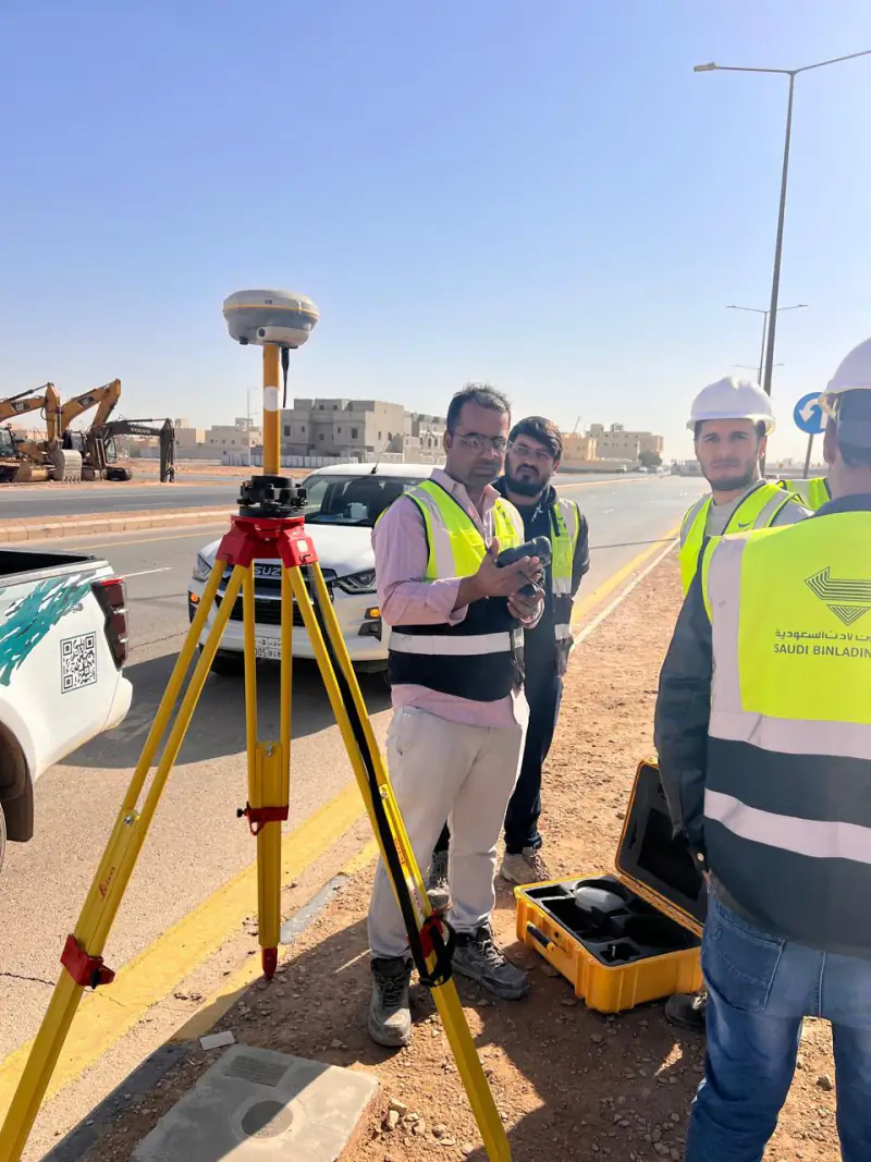 Surveying in Syria: how contractors and developers can commission a survey in Damascus, Aleppo or Homs How a contractor, consultant or developer can arrange engineering surveying in Damascus, Aleppo or Homs, including from outside Syria: what YAZ’s Homs office offers, what to send and how a quotation is prepared.
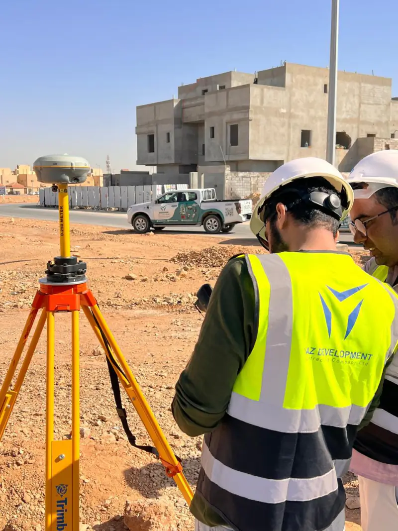 How much does a topographic survey cost in Riyadh? There is no fixed price for a topographic survey in Riyadh. This guide explains the seven factors that decide the cost, what to send for an accurate quotation and how to compare offers from surveying companies.
 3D Laser Scanning for Construction: When You Need It and What You Should Receive A practical guide for contractors and consultants in Saudi Arabia: where 3D laser scanning adds value on site, what to agree before scanning, and the deliverables to ask for.
Need Professional Surveying Teams or Geospatial Engineering Services?
Message us on WhatsApp or call +966 50 298 0251