Laser scanning historic buildings: what YAZ’s work in Diriyah shows
Why 3D laser scanning suits heritage buildings, what a point cloud records, and how it supports restoration planning, from YAZ’s scanning of historic buildings in Diriyah.
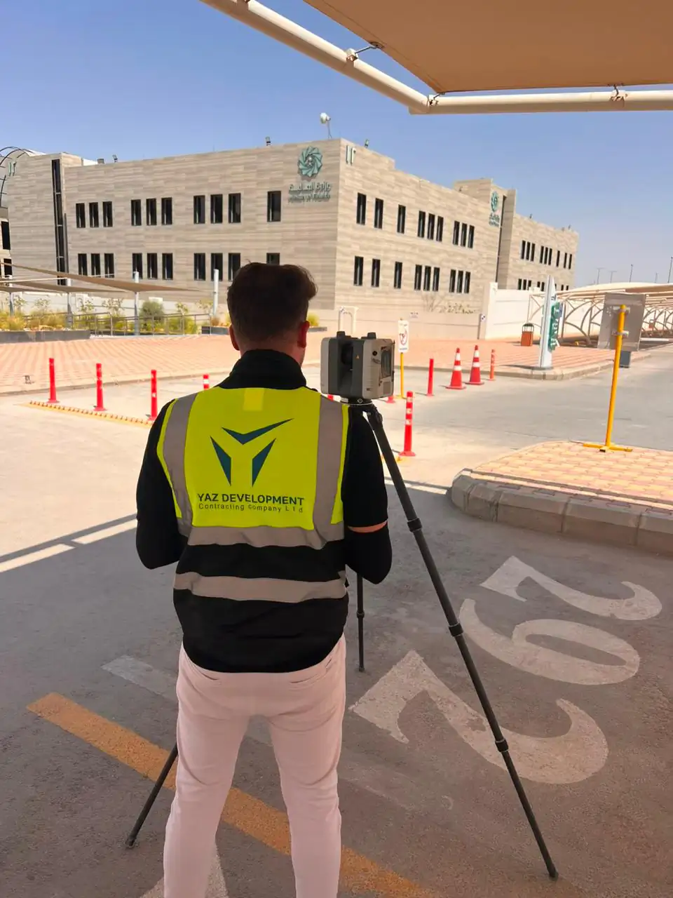
The short answer
3D laser scanning suits historic buildings because it records irregular walls, openings and façades as a measurable 3D point cloud. In Diriyah, YAZ scanned historic buildings to document existing conditions, giving project teams a geometric reference for engineering review, restoration planning and drawings such as plans, elevations and sections.
Key takeaways
- Historic buildings have irregular geometry that conventional measurements struggle to record.
- YAZ carried out 3D laser scanning of historic buildings in Diriyah.
- A point cloud lets teams take new measurements without returning to site.
- Scan data supports restoration planning and the production of plans, elevations and sections.
- Agree coverage, detail, control and deliverables before scanning starts.
Historic buildings are hard to measure. Walls are rarely straight, openings differ from one another and old drawings, where they exist, may not match what stands today. Laser scanning historic buildings solves this by recording each building as it is.
YAZ Development for Surveying & Contracting carried out 3D laser scanning of historic buildings in Diriyah, capturing existing conditions as a detailed geometric reference for engineering review and heritage-related project activities.
Why use 3D laser scanning on heritage buildings?
Heritage buildings contain irregular surfaces, complex spatial relationships and features that are difficult to document with conventional measurements alone. A laser scanner records millions of points on every visible surface, producing a three-dimensional point cloud. Project teams can then examine the real configuration of the building and take measurements from the data instead of returning to site.
What did the scanning capture in Diriyah?
YAZ’s work focused on accessible building elements within the agreed survey areas. The scans recorded their form, dimensions and spatial relationships, giving a measurable record of how walls, openings, façades and internal spaces relate to one another wherever they were captured.
How does a point cloud help restoration?
Existing-conditions documentation is the starting point for any intervention on a historic building. Laser scan data can support:
- the review of available drawings against the real building;
- the assessment of building geometry;
- the coordination of proposed interventions with the existing fabric;
- the production of plans, elevations and sections, according to the agreed scope.
A digital record that lasts
A point cloud preserves the geometry visible at the time of scanning. Teams can revisit captured areas digitally, extract new measurements and review details without relying only on photographs or isolated site measurements. For a heritage site, that record keeps its value long after the scanning is done.
Scope matters
Every heritage survey should agree four things before scanning starts: the areas to cover, the level of detail, the control requirements and the deliverables. YAZ defines these for each project. Learn more about 3D laser scanning or read our guide on laser scanning accuracy in construction.
Common questions
Why use 3D laser scanning for historic buildings?
It records irregular surfaces and complex spaces as a measurable 3D point cloud, which conventional measurements alone cannot capture well.
What did YAZ do in Diriyah?
YAZ carried out 3D laser scanning of historic buildings in Diriyah, documenting existing conditions within its assigned project scope.
What can be produced from a heritage point cloud?
Plans, elevations, sections and other technical documentation, according to the agreed downstream scope.
What should be agreed before a heritage scan?
The survey coverage, required detail, control requirements and deliverables.
More articles
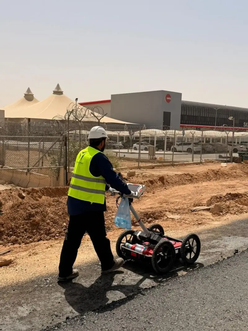 What a GPR survey can and cannot tell you before excavation: notes from Qiddiya Ground Penetrating Radar finds signs of buried utilities without digging, but it has limits. What to expect from a GPR survey, based on YAZ’s utility investigation at Qiddiya.
 Surveying teams for contractors: what 20 to 30+ crews look like on Saudi mega projects How many surveying teams do large Saudi projects need, and what do they do? Real numbers from YAZ’s work on NEOM, Riyadh Metro, King Salman Park and Misk Schools.
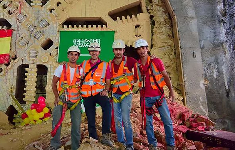 Surveying a metro: how YAZ supported Riyadh Metro stations, viaducts and tunnels What it takes to survey a metro line that runs on the surface, on elevated viaducts and through bored tunnels, from YAZ’s work with more than 30 surveying teams on Lines 4, 5 and 6.
Need Professional Surveying Teams or Geospatial Engineering Services?
Message us on WhatsApp or call +966 50 298 0251