Surveying a metro: how YAZ supported Riyadh Metro stations, viaducts and tunnels
What it takes to survey a metro line that runs on the surface, on elevated viaducts and through bored tunnels, from YAZ’s work with more than 30 surveying teams on Lines 4, 5 and 6.
The short answer
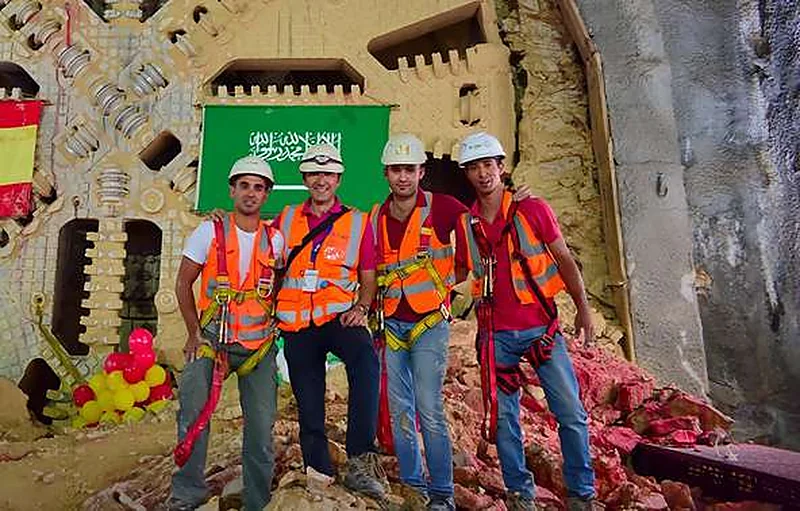
On Riyadh Metro, YAZ provided more than 30 surveying teams and a survey technical office within the FAST Consortium package for Lines 4, 5 and 6. The teams handled survey control, station setting-out, viaduct alignment and level control, tunnel and TBM surveying and as-built checks, working with Samsung C&T, Strukton and Freyssinet Saudi Arabia.
Key takeaways
- More than 30 YAZ surveying teams worked on Riyadh Metro Lines 4, 5 and 6 (FAST Consortium).
- One survey control network ties stations, viaducts and tunnels together.
- Viaducts need alignment, position and level control for piers and segment installation.
- Tunnel control is transferred from the surface and checked as the TBM advances.
- A survey technical office prepares setting-out data and checks field measurements against design.
A metro line is three construction projects in one. Part of it runs at street level, part of it rides on elevated viaducts and part of it is bored underground by tunnel boring machines (TBMs). Each environment needs different surveying methods, yet the line has to meet itself exactly where they join.
On Riyadh Metro, YAZ Development for Surveying & Contracting provided more than 30 surveying teams, supported by a survey technical office, within the FAST Consortium package covering Line 4 (Yellow), Line 5 (Green) and Line 6 (Purple). YAZ worked with Samsung C&T, Strukton and Freyssinet Saudi Arabia within its assigned scopes.
Why does a metro need one survey control network?
Every setting-out point on a metro comes from the same survey control. YAZ’s teams established, densified and verified control points and benchmarks for their assigned works and tied every field measurement to the project reference system.
That single reference is what keeps alignments and levels continuous between work areas: a station built by one team has to meet a viaduct or a tunnel built by another.
Surveying stations and structural works
Inside stations and their associated work areas, YAZ set out and verified the positions and elevations of grids, foundations, columns, walls and slabs within its scope. Each element is checked against the drawings before the next one is built on top of it.
How are elevated viaducts surveyed?
Viaducts add a geometric challenge: piers, pier caps and deck segments must line up in plan and in level over long spans. YAZ’s surveying support covered:
- alignment, position and elevation control along the viaduct;
- geometric measurements for bridge elements and segment installation;
- survey verification at each stage of construction.
Surveying tunnels and TBM drives
Underground, there is no sky view for GNSS. Survey control has to be carried down from the surface and connected underground, then used to check the tunnel alignment and levels as the TBM advances. YAZ provided surveying teams and technical support for these tasks, including measurements associated with TBM excavation within its assigned tasks.
The technical office behind the field teams
Field teams are only as good as the data they receive. YAZ’s survey technical office:
- reviewed drawings and extracted coordinates, elevations and setting-out information;
- prepared point schedules and survey data files for the field;
- processed observations and checked the consistency of the data;
- compared field measurements with the design and flagged deviations for technical review;
- coordinated with construction, quality and technical teams on alignments, levels and drawing revisions.
At a glance
| Item | YAZ’s involvement |
|---|---|
| Package | FAST Consortium, Lines 4, 5 and 6 |
| Companies YAZ worked with | Samsung C&T, Strukton, Freyssinet Saudi Arabia |
| Scale | More than 30 surveying teams |
| Environments | Surface works, stations, elevated viaducts, tunnels and TBM |
| Office support | Survey technical office and as-built data |
What this means for other transport projects
Metro, railway and complex infrastructure projects share the same need: many teams working at once, on different structures, all tied to one reference. The full project write-up is on the Riyadh Metro project page, and the services involved are described under construction surveying.
Common questions
How many surveying teams did YAZ provide on Riyadh Metro?
More than 30 surveying teams across YAZ’s project assignments, supported by a survey technical office.
Which Riyadh Metro lines did YAZ work on?
Lines 4 (Yellow), 5 (Green) and 6 (Purple), within the FAST Consortium package.
Which companies did YAZ work with on Riyadh Metro?
Samsung C&T, Strukton and Freyssinet Saudi Arabia, within YAZ’s assigned scopes.
What does a survey technical office do on a metro project?
It turns drawings into setting-out data, prepares point schedules, processes field observations and compares measurements with the design so deviations reach technical review.
More articles
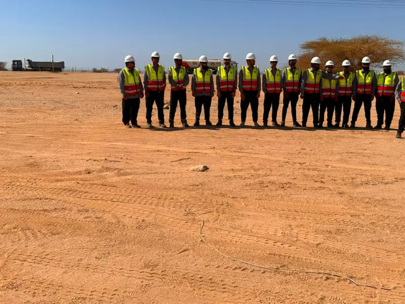 Surveying teams for contractors: what 20 to 30+ crews look like on Saudi mega projects How many surveying teams do large Saudi projects need, and what do they do? Real numbers from YAZ’s work on NEOM, Riyadh Metro, King Salman Park and Misk Schools.
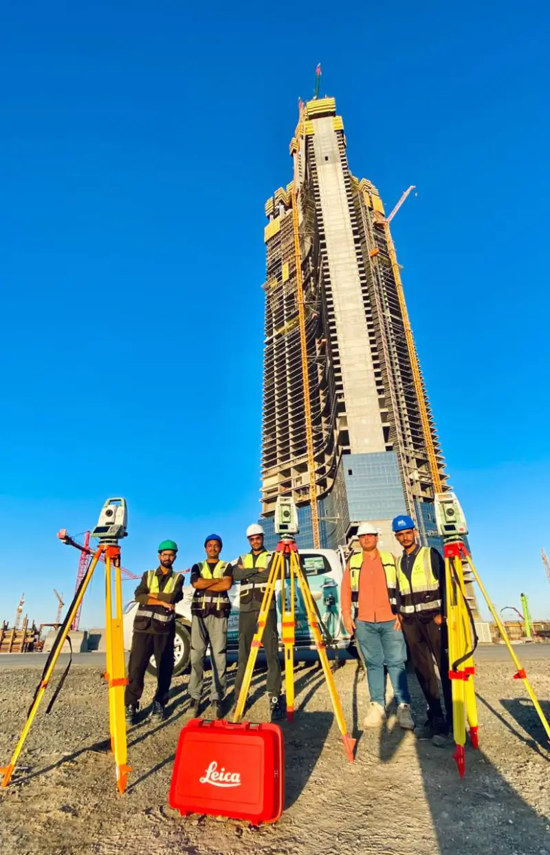 Surveying a super-tall tower: field teams, survey engineers and laser scan checks at Jeddah Tower High-rise construction needs more than setting-out. How YAZ combines field surveying teams, technical survey engineers and laser scanning verification at Jeddah Tower with Saudi Binladin Group.
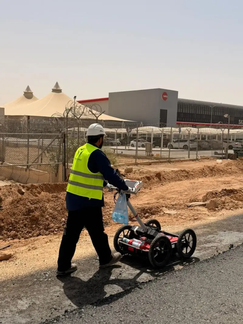 What a GPR survey can and cannot tell you before excavation: notes from Qiddiya Ground Penetrating Radar finds signs of buried utilities without digging, but it has limits. What to expect from a GPR survey, based on YAZ’s utility investigation at Qiddiya.
Need Professional Surveying Teams or Geospatial Engineering Services?
Message us on WhatsApp or call +966 50 298 0251