What a GPR survey can and cannot tell you before excavation: notes from Qiddiya
Ground Penetrating Radar finds signs of buried utilities without digging, but it has limits. What to expect from a GPR survey, based on YAZ’s utility investigation at Qiddiya.
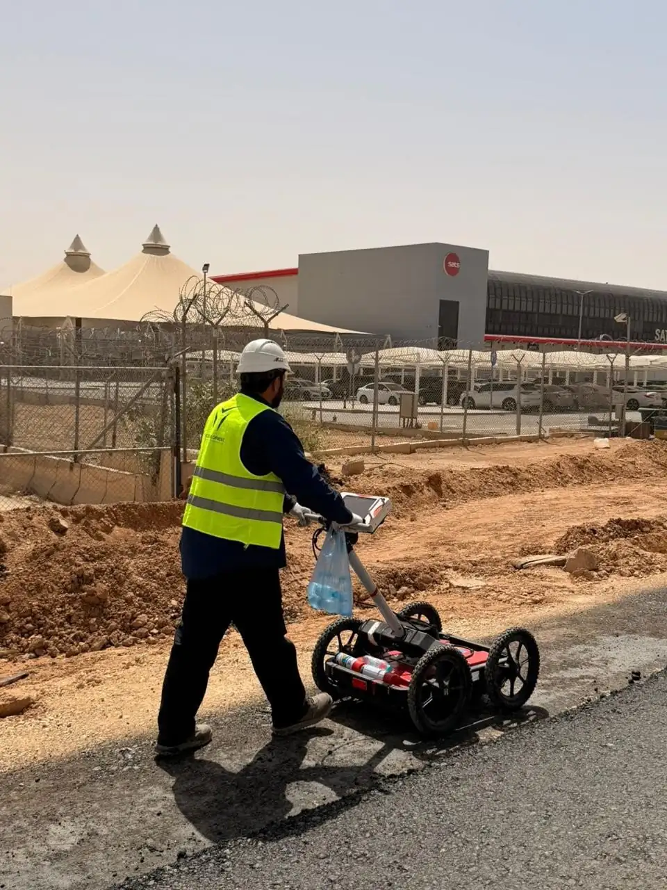
The short answer
A GPR survey shows where, within the surveyed area, radar responses suggest buried utilities, with positions tied to site coordinates and indicative depths where the data allows. It cannot guarantee every utility or confirm what a response is: detection depends on ground conditions, depth and access, so findings need checking against records and physical verification.
Key takeaways
- GPR is non-intrusive and records reflections from buried objects and changes in materials.
- YAZ carried out GPR utility surveys at Qiddiya within its assigned scope.
- Detectability depends on ground conditions, target, depth and access.
- An interpreted response is not a confirmed utility until physically verified.
- A good GPR report states coverage, positions, indicative depths, confidence and uncertain areas.
Before excavation, every contractor wants to know what is under the ground. Utility records help, but they do not always match site conditions: services go unrecorded, alignments change and information is incomplete. Ground Penetrating Radar (GPR) reduces that uncertainty, as long as everyone understands what it can and cannot do.
YAZ Development for Surveying & Contracting carried out GPR surveys at Qiddiya to investigate underground utilities and subsurface features within its assigned scope, giving site teams information for excavation planning and coordination.
How does GPR detect buried utilities?
GPR sends radar pulses into the ground and records the reflections from buried objects and from changes in subsurface materials. Interpreting those reflections identifies responses consistent with possible pipes, ducts, cables or other features. It is non-intrusive: nothing is dug until the findings are reviewed.
What a GPR survey can tell you
- Where, within the surveyed area, there are responses that may indicate buried services.
- The positions of those responses, tied to site coordinates.
- Indicative depths, where the data supports them.
- Which areas are uncertain and need further checks.
What it cannot tell you on its own
- Every utility, every time. Detectability depends on ground conditions, the target’s characteristics, its depth and access to the area.
- What a response is for certain. An interpreted response is not a confirmed service until it is physically verified.
- Anything outside the surveyed area. Coverage must match the planned works.
That is why GPR findings belong to a wider utility investigation, alongside available records, complementary detection methods and physical verification where required.
What should a GPR report include?
Depending on the agreed scope:
| Deliverable | Use |
|---|---|
| Coverage plan | Shows exactly where was surveyed |
| Marked positions | Responses located on site |
| Drawings linked to coordinates | Fits the project’s survey workflow |
| Indicative depths | Planning, where the data allows |
| Interpretation notes | Confidence and limits stated |
| Uncertain areas | Where to verify before digging |
Plan the survey around the decision
A useful GPR survey starts from the question it must answer: which route, which excavation, which interfaces. Survey methods, coverage and deliverables are then defined around that purpose. See GPR and underground utility detection or our guide on GPR utility detection before excavation.
Common questions
Can GPR find every underground utility?
No. Detectability depends on ground conditions, the target’s characteristics, depth and access, so findings are combined with records and physical verification.
Does GPR show the depth of utilities?
It can give indicative depth estimates where the data supports them.
What did YAZ do at Qiddiya?
YAZ carried out Ground Penetrating Radar surveys to investigate underground utilities and subsurface features within its assigned scope.
What should a GPR survey report include?
Coverage plans, marked positions, drawings linked to site coordinates, indicative depths, interpretation notes and the uncertain areas to verify.
More articles
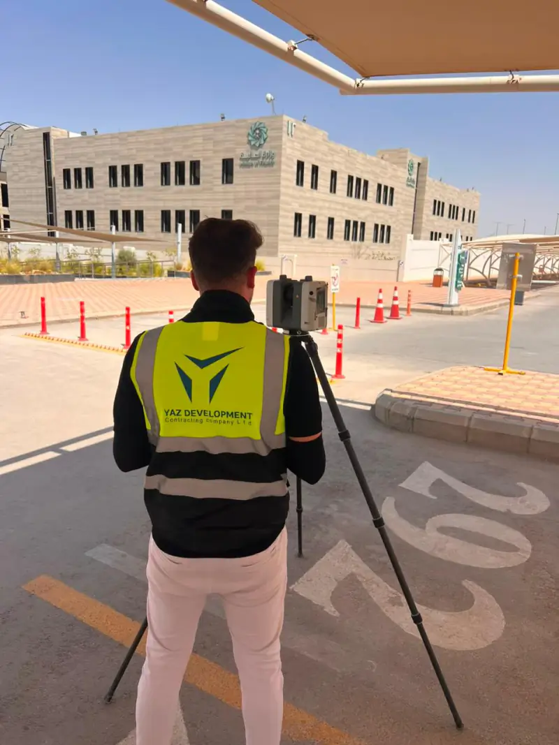 Laser scanning historic buildings: what YAZ’s work in Diriyah shows Why 3D laser scanning suits heritage buildings, what a point cloud records, and how it supports restoration planning, from YAZ’s scanning of historic buildings in Diriyah.
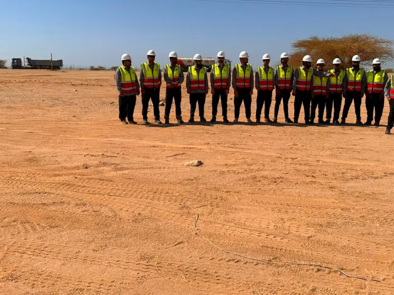 Surveying teams for contractors: what 20 to 30+ crews look like on Saudi mega projects How many surveying teams do large Saudi projects need, and what do they do? Real numbers from YAZ’s work on NEOM, Riyadh Metro, King Salman Park and Misk Schools.
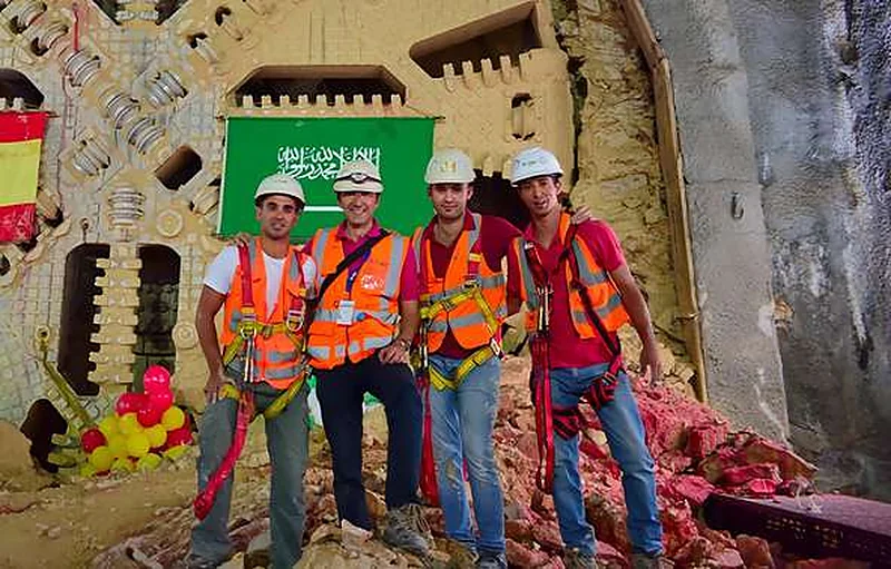 Surveying a metro: how YAZ supported Riyadh Metro stations, viaducts and tunnels What it takes to survey a metro line that runs on the surface, on elevated viaducts and through bored tunnels, from YAZ’s work with more than 30 surveying teams on Lines 4, 5 and 6.
Need Professional Surveying Teams or Geospatial Engineering Services?
Message us on WhatsApp or call +966 50 298 0251