Surveying a super-tall tower: field teams, survey engineers and laser scan checks at Jeddah Tower
High-rise construction needs more than setting-out. How YAZ combines field surveying teams, technical survey engineers and laser scanning verification at Jeddah Tower with Saudi Binladin Group.
The short answer
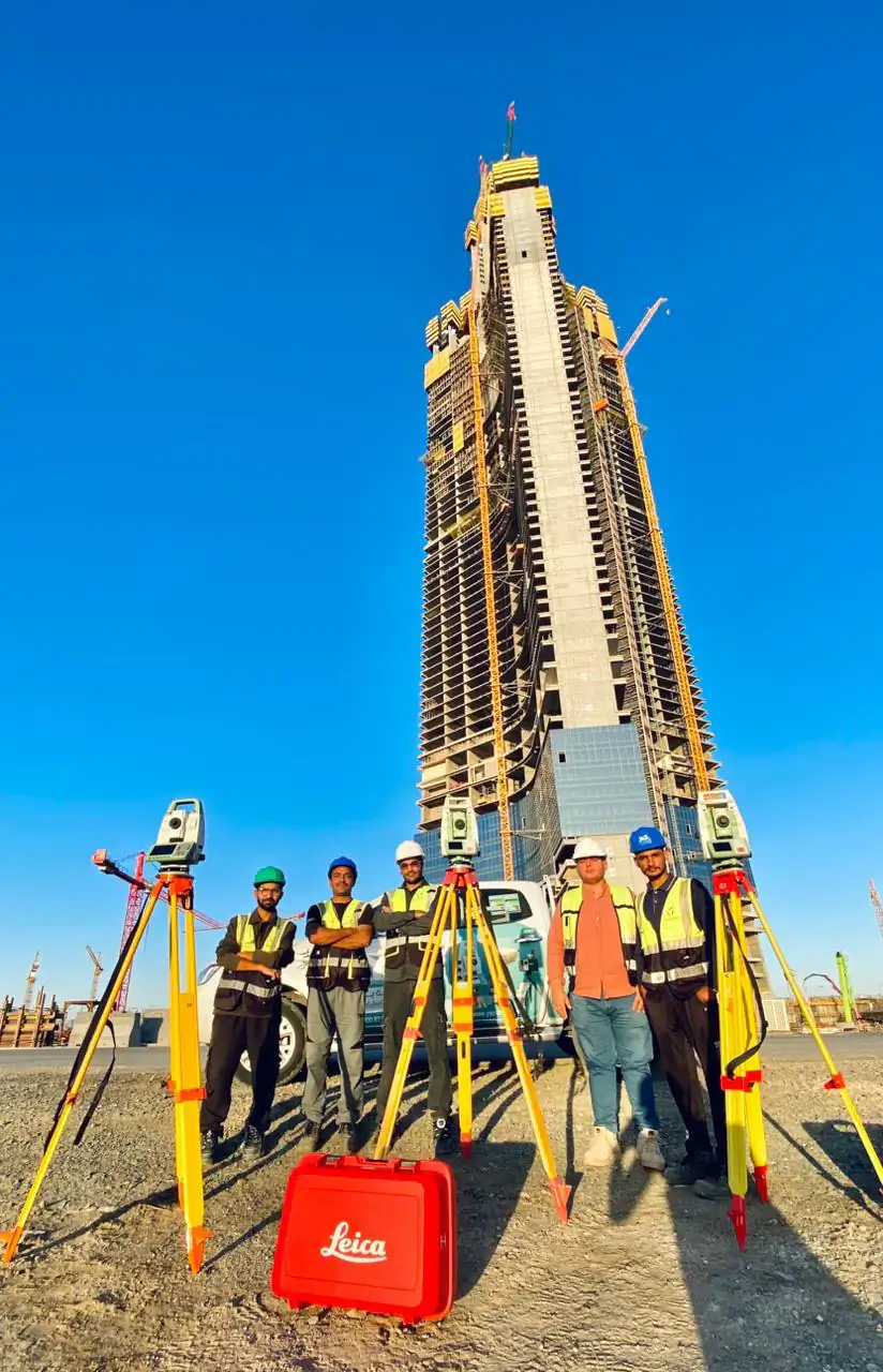
Surveying a super-tall tower combines field setting-out, a technical office of survey engineers and verification of 3D laser scanning against approved survey references. At Jeddah Tower, YAZ supports Saudi Binladin Group with field teams and survey engineers for structural and mechanical works, and follows up and verifies laser scanning within its scope.
Key takeaways
- YAZ supports Jeddah Tower alongside Saudi Binladin Group.
- The scope covers structural and mechanical surveying, a technical office and laser scanning verification.
- Point clouds are checked against approved survey references and field measurements.
- Structural and mechanical trades working from the same references reduces conflicts on site.
On a super-tall tower, structural and mechanical works rise together, floor after floor, and every element has to sit where the design says. Surveying on such a project is a chain: field measurement, technical analysis and verification against approved references.
YAZ Development for Surveying & Contracting supports Jeddah Tower alongside Saudi Binladin Group, providing field surveying teams and technical office survey engineers for structural and mechanical works, together with the follow-up and verification of 3D laser scanning within its assigned scope.
What does surveying involve on a high-rise tower?
On Jeddah Tower, YAZ’s scope covers five connected tasks:
- Structural construction surveying: setting-out, grid alignment, coordinate and elevation control, and checks on the positions of structural elements.
- Surveying for mechanical works: references for positioning mechanical elements and service routes, and checks on installation locations and elevations.
- Technical office and survey engineering: drawing review, setting-out data, processing of field measurements and comparison of as-built conditions with design.
- Laser scanning follow-up and verification: reviewing point clouds and scan outputs against approved survey references.
- Coordination: sharing requirements, observations and findings between site teams and the technical office.
Why check laser scanning data against survey control?
A point cloud is only useful when it sits correctly in the project reference. YAZ’s engineers check scan outputs for consistency with approved survey references and field measurements, so the data can support the geometric assessment of constructed elements and highlight discrepancies that need technical review.
Why do structural and mechanical works need the same references?
In a tower, mechanical routes run through and around the structure. When both trades work from the same coordinates and levels, conflicts appear on screen during coordination rather than on site during installation.
Field and office as one team
| Part | What it adds |
|---|---|
| Field surveying teams | Measurements and setting-out on site |
| Survey engineers (technical office) | Prepared data, processing, design comparison |
| Laser scanning verification | A checked 3D record of what was built |
| Coordination | Findings reach the right team in time |
Lessons for other high-rise projects
High-rise surveying works best when field teams, survey engineers and scan reviewers share one reference and one reporting line. To discuss a tower or a complex building, see construction surveying and 3D laser scanning, or request a quotation.
Common questions
What does YAZ do on Jeddah Tower?
YAZ provides field surveying teams and technical office survey engineers for structural and mechanical works, and follows up and verifies 3D laser scanning, alongside Saudi Binladin Group.
Why verify laser scanning data on a tower?
A point cloud is only reliable when it matches the project’s approved survey references; verification makes it usable for geometric assessment.
What does a survey technical office do on a high-rise project?
It reviews drawings, prepares setting-out data, processes field measurements and compares as-built conditions with the design.
Who is the main contractor of Jeddah Tower?
YAZ works on Jeddah Tower alongside Saudi Binladin Group; YAZ’s role is surveying and technical survey support.
More articles
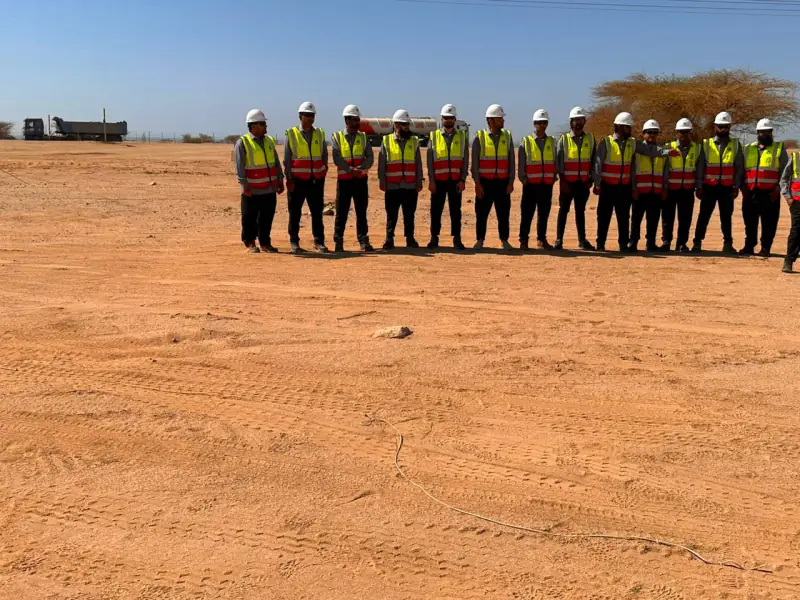 Surveying teams for contractors: what 20 to 30+ crews look like on Saudi mega projects How many surveying teams do large Saudi projects need, and what do they do? Real numbers from YAZ’s work on NEOM, Riyadh Metro, King Salman Park and Misk Schools.
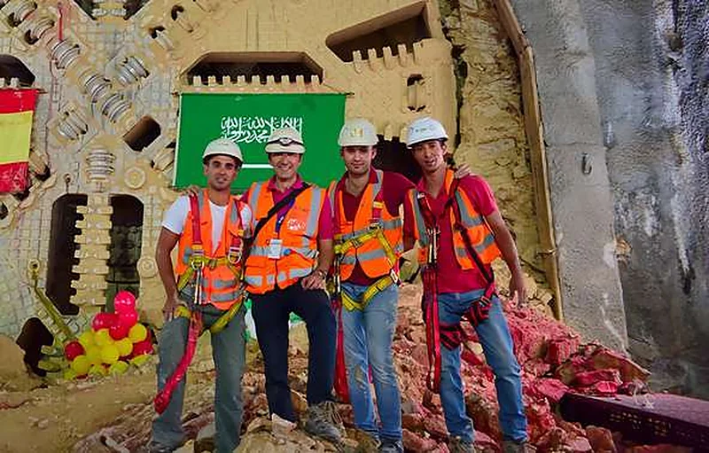 Surveying a metro: how YAZ supported Riyadh Metro stations, viaducts and tunnels What it takes to survey a metro line that runs on the surface, on elevated viaducts and through bored tunnels, from YAZ’s work with more than 30 surveying teams on Lines 4, 5 and 6.
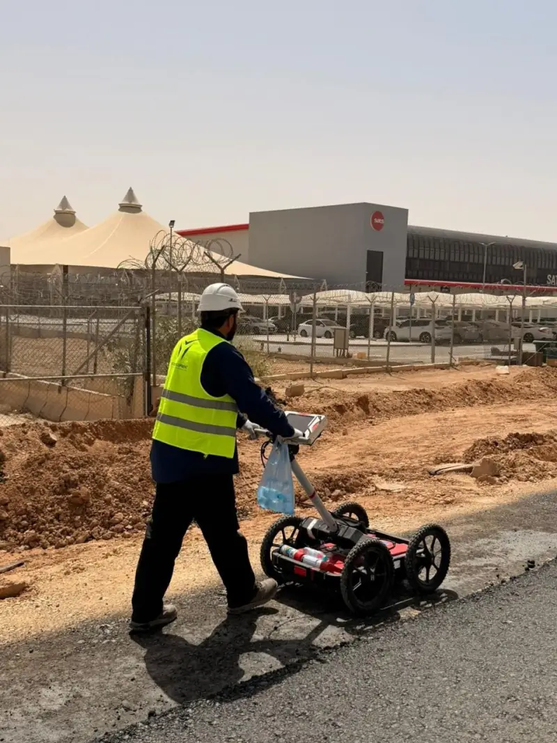 What a GPR survey can and cannot tell you before excavation: notes from Qiddiya Ground Penetrating Radar finds signs of buried utilities without digging, but it has limits. What to expect from a GPR survey, based on YAZ’s utility investigation at Qiddiya.
Need Professional Surveying Teams or Geospatial Engineering Services?
Message us on WhatsApp or call +966 50 298 0251