Best surveying equipment for contractors: total station, GNSS RTK or laser scanner?
Which surveying instrument a contractor needs depends on the task. How total stations, GNSS RTK receivers and laser scanners compare, what affects their price, and what to check before buying.
The short answer
Contractors usually need a total station for setting out and work near or inside structures, and a GNSS RTK receiver for topography, control and long open-sky surveys. A laser scanner is added when existing-conditions, as-built checks or Scan to BIM become regular work. Price depends on accuracy, features, configuration, software, accessories and support.
Key takeaways
- Total stations are best for setting out, indoor work and tight tolerances.
- GNSS RTK receivers are fastest for topography, control and long open-sky surveys.
- Laser scanners give complete 3D records for existing conditions, as-built checks and BIM.
- Equipment price depends on accuracy, features, configuration, software, accessories and support.
- YAZ is the exclusive Hi-Target agent in Saudi Arabia.
Contractors setting up their own survey section, or replacing old instruments, usually ask the same question: should we buy a total station, a GNSS RTK receiver or a laser scanner? The short answer is that each instrument is best at different tasks, and most construction sites need more than one. This guide compares the best surveying equipment for contractors from a site point of view.
What does a total station do best?
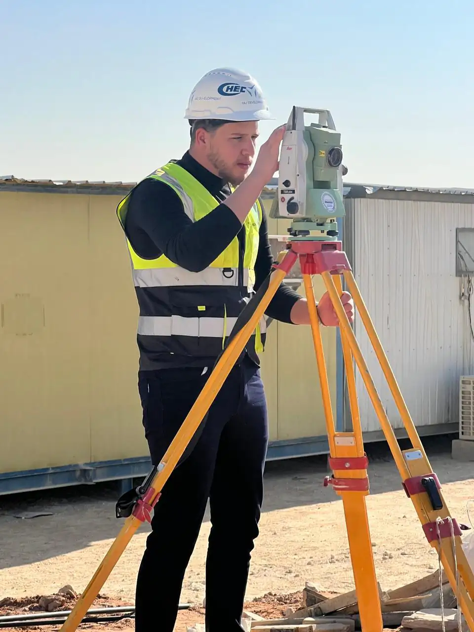
A total station measures angles and distances to a point, either to a prism or, on many models, directly to a surface. It is the workhorse of construction surveying:
- setting out columns, walls, anchor bolts and grid lines;
- checking positions and levels of structural elements;
- work inside buildings, tunnels and car parks where satellite signals do not reach;
- tight tolerances over short distances.
YAZ field teams use Leica total stations, including the Nova MS60, TS20 and TS16, on projects such as Riyadh Metro, where tunnel and station work rely on total station measurements.
What does a GNSS RTK receiver do best?
A GNSS receiver works with satellite positioning, and in RTK (real-time kinematic) mode it gives corrected coordinates in the field in real time. It is the fastest tool for open-sky work:
- topographic surveys and levels over large areas;
- establishing and checking survey control;
- road, pipeline and earthworks surveys over long distances;
- quick stake-out of points where there are no obstructions.
It is less suited to dense urban canyons, under structures or indoors. YAZ teams use Leica GS18 I, Trimble R12i and Hi-Target GNSS receivers.
What does a laser scanner do best?
A laser scanner records millions of points and produces a point cloud. It is the right instrument when you need a complete 3D record rather than selected points:
- existing-conditions and architectural surveys;
- comparing built work with a design model;
- complex steel, plant rooms and façades;
- Scan to BIM.
YAZ uses scanners such as the Leica RTC360 and Trimble X7, for example within its scope at the King Fahd International Stadium development. Read what 3D laser scanning is and when you need it.
Total station vs GNSS RTK vs laser scanner
| Task | Total station | GNSS RTK | Laser scanner |
|---|---|---|---|
| Building setting out | Best | Limited near structures | Not used |
| Large-area topography | Slower | Best | Possible for detail |
| Survey control | Yes | Yes | Needs control |
| Indoors and tunnels | Best | Not suitable | Yes |
| As-built and deviation checks | Point checks | Point checks | Full surfaces |
For most contractors the first purchase is a total station and a GNSS RTK receiver; a laser scanner is added when existing-conditions, as-built or BIM work becomes regular.
What affects the price of surveying equipment?
Prices change with the model and the package, so ask for a quotation for the exact configuration you need. The main factors are:
- Accuracy class: higher angular and distance accuracy costs more.
- Features: reflectorless range, robotic tracking, imaging, tilt compensation or IMU in GNSS receivers.
- Configuration: a base and rover or rover only, radio or network corrections.
- Controller and software: field software licences and office processing software.
- Accessories: tripods, poles, prisms, batteries and cases.
- Support: training, calibration and local after-sales service.
Why buy from a local agent?
Instruments need calibration, repairs and software support, and field crews need training. A local agent shortens the time an instrument is out of service. YAZ is the exclusive Hi-Target agent in Saudi Arabia and supplies, configures and supports Hi-Target GNSS receivers, total stations and field controllers for survey teams across the Kingdom.
Buy or hire a surveying team?
If survey work on your project is short or specialised, it can be simpler to hire a team that brings its own instruments. YAZ supplies surveying teams to contractors, together with technical office support.
Next steps
Browse Hi-Target devices on the products page, see the instruments YAZ teams use on the equipment page, and send your configuration through the equipment quotation form. YAZ prices each request in a written quotation.
Common questions
Should a contractor buy a total station or a GNSS RTK receiver first?
Most contractors need both: a total station for setting out near structures and a GNSS RTK receiver for topography and control over open areas.
How much does surveying equipment cost?
It depends on the model, accuracy, features, configuration, software, accessories and support. Ask for a quotation for the exact configuration you need.
Who is the Hi-Target agent in Saudi Arabia?
YAZ Development is the exclusive Hi-Target agent in Saudi Arabia and supplies, configures and supports Hi-Target devices.
When does a contractor need a laser scanner?
When existing-conditions surveys, as-built deviation checks or Scan to BIM become regular work.
More articles
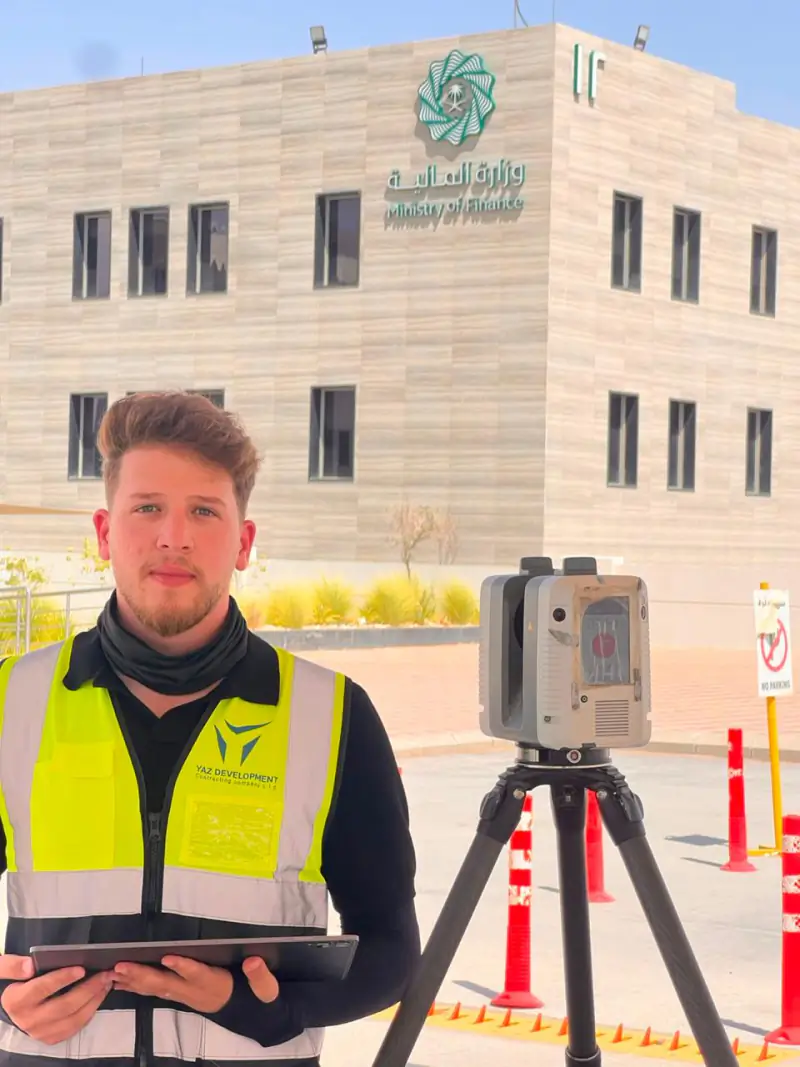 What is 3D laser scanning and when do you need it? How a laser scanner records a building or site as a measurable point cloud, what you can produce from it, including Scan to BIM, and the situations where it is the right survey method.
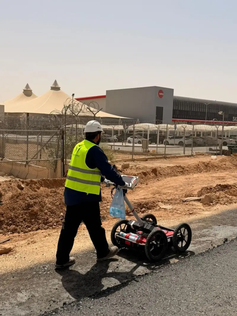 What a GPR survey can and cannot tell you before excavation: notes from Qiddiya Ground Penetrating Radar finds signs of buried utilities without digging, but it has limits. What to expect from a GPR survey, based on YAZ’s utility investigation at Qiddiya.
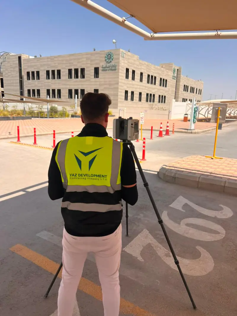 Laser scanning historic buildings: what YAZ’s work in Diriyah shows Why 3D laser scanning suits heritage buildings, what a point cloud records, and how it supports restoration planning, from YAZ’s scanning of historic buildings in Diriyah.
Need Professional Surveying Teams or Geospatial Engineering Services?
Message us on WhatsApp or call +966 50 298 0251