What is 3D laser scanning and when do you need it?
How a laser scanner records a building or site as a measurable point cloud, what you can produce from it, including Scan to BIM, and the situations where it is the right survey method.
The short answer
3D laser scanning measures buildings and sites by recording millions of points on every visible surface, producing a measurable point cloud. You need it when geometry is complex, a complete record of existing conditions must feed a design, built work must be checked against the design model, or time and access on site are limited.
Key takeaways
- A laser scanner records millions of points and produces a measurable 3D point cloud.
- Point clouds become plans, sections, Scan to BIM models and deviation reports.
- Scanning suits complex geometry, existing-conditions surveys and checks against design.
- Scans must be registered and tied to survey control to be reliable.
- YAZ has scanned historic buildings in Diriyah and uses scanning at King Fahd Stadium and Jeddah Tower within its scope.
3D laser scanning measures a building, structure or site by sending out laser pulses and recording millions of points on every visible surface. The result is a point cloud: a three-dimensional, measurable record of what exists at the time of scanning. Engineers can take dimensions, cut sections and build models from it without returning to site.
How does a laser scanner work?
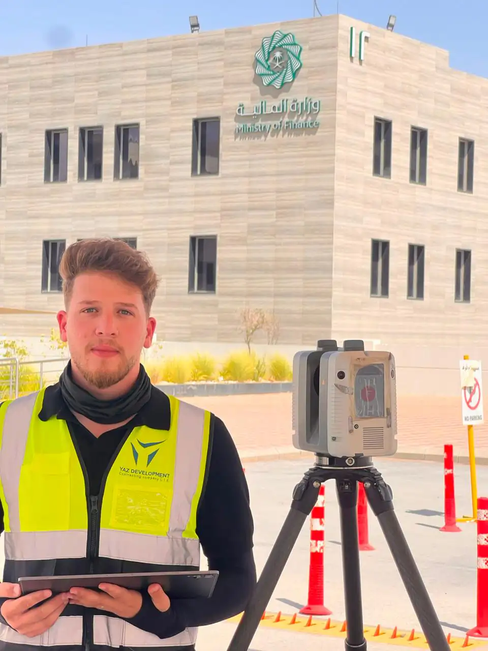
A terrestrial laser scanner is set up on a tripod at a series of positions around and inside the subject. At each position it rotates and measures the distance and direction to surrounding surfaces, often capturing images at the same time. The individual scans are then registered together and tied to survey control, so the combined point cloud sits in the project’s coordinate system.
YAZ teams use scanners such as the Leica RTC360 and Trimble X7, alongside total stations and GNSS for control.
What is a point cloud?
A point cloud is the dataset a scanner produces. Each point has a position in three dimensions, and together they show walls, floors, steel, pipes, façades and the ground as they really are. On its own it is a measurement record; with point cloud processing it becomes drawings, models or comparison reports.
What can you produce from a laser scan?
- plans, elevations and sections of existing buildings (an architectural survey, or رفع معماري in Arabic);
- 3D models through Scan to BIM;
- comparisons of constructed elements with the design model;
- volumes and surface models;
- a lasting digital record of existing conditions.
What you receive depends on the scope agreed before scanning: the areas to cover, the level of detail, the control requirements and the deliverables.
When do you need 3D laser scanning?
Laser scanning is not always the right tool. A simple plot is usually faster to survey with GNSS and a total station. Scanning earns its place when:
- Geometry is complex or irregular. Historic walls, curved structures, steel frameworks and plant rooms are hard to capture point by point.
- You need a complete record, not selected points. A scan captures everything visible, so questions that arise later can often be answered from the data.
- Existing conditions must feed a design. Renovation, extension and fit-out projects need to know what is really there, not what old drawings say.
- Built work must be checked against design. Comparing a point cloud with a design model shows deviations across whole surfaces.
- Access is limited or time on site is short. Scanning captures large areas quickly and keeps people away from hazards.
Where has YAZ used laser scanning?
On real projects, scanning is part of a wider surveying scope:
- In Diriyah, YAZ carried out 3D laser scanning of historic buildings, documenting existing conditions as a geometric reference for engineering review and heritage-related project activities.
- At the King Fahd International Stadium development in Riyadh, YAZ provides field surveying teams and technical surveying support together with 3D laser scanning, point cloud processing and engineering verification within its assigned scope.
- At Jeddah Tower, YAZ’s engineers follow up and verify laser scanning outputs against approved survey references.
The common thread is control: a point cloud is only useful when it sits correctly in the project reference.
What is Scan to BIM?
Scan to BIM turns a point cloud into a structured 3D model that designers can use in BIM software. It is commonly used for renovation, facilities management and coordination of new services in existing buildings. Our guide on Scan to BIM vs traditional survey compares the two approaches.
How accurate is laser scanning?
Accuracy depends on the scanner, the scanning distance, the registration method and the control network. Agree the required accuracy and level of detail before scanning starts. For more, read laser scanning accuracy in construction.
Planning a laser scanning survey
Before you request a scan, define what the data is for, the areas and level of detail, the coordinate system and the deliverables. YAZ prices each scope in a written quotation. Learn more about 3D laser scanning or request a quotation.
Common questions
What is 3D laser scanning?
A survey method that records millions of points on visible surfaces with a laser scanner, producing a measurable 3D point cloud of a building or site.
What is a point cloud used for?
For measurements, plans, elevations and sections, Scan to BIM models, comparisons with design and a lasting record of existing conditions.
When is laser scanning better than a total station survey?
When geometry is complex or irregular, when a complete record is needed rather than selected points, or when built work must be compared with a design model.
Which laser scanners do YAZ teams use?
Scanners such as the Leica RTC360 and Trimble X7, with total stations and GNSS for survey control.
More articles
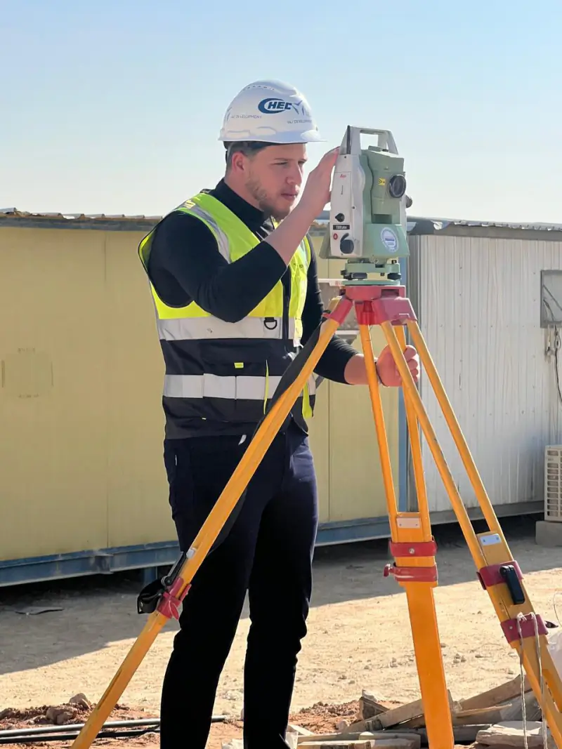 Best surveying equipment for contractors: total station, GNSS RTK or laser scanner? Which surveying instrument a contractor needs depends on the task. How total stations, GNSS RTK receivers and laser scanners compare, what affects their price, and what to check before buying.
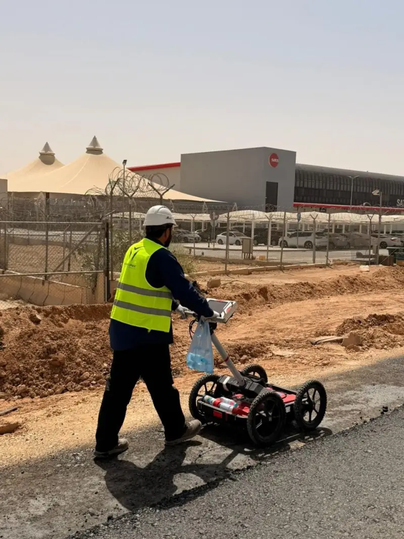 What a GPR survey can and cannot tell you before excavation: notes from Qiddiya Ground Penetrating Radar finds signs of buried utilities without digging, but it has limits. What to expect from a GPR survey, based on YAZ’s utility investigation at Qiddiya.
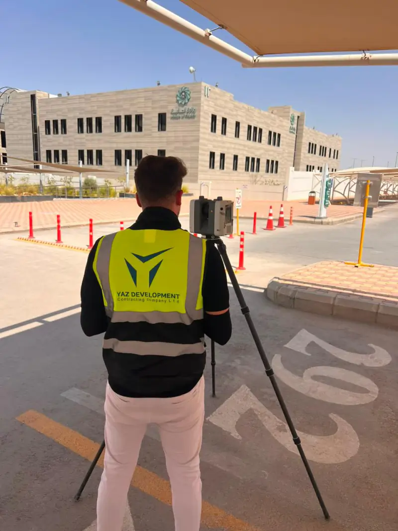 Laser scanning historic buildings: what YAZ’s work in Diriyah shows Why 3D laser scanning suits heritage buildings, what a point cloud records, and how it supports restoration planning, from YAZ’s scanning of historic buildings in Diriyah.
Need Professional Surveying Teams or Geospatial Engineering Services?
Message us on WhatsApp or call +966 50 298 0251